
Silverton

Today’s Forecast:
Today’s Report:
Hiking
Use Caution for hiking. High near 80°F. Rain forecast later today (79%). Thunderstorms forecast later today.
- Temp: Marginal weather factor
- Rain: Marginal weather factor
- Wind: Favorable conditions
- Thunderstorm: Marginal weather factor
Camping
Use Caution for camping. High near 80°F. Rain forecast later today (79%). Thunderstorms forecast later today.
- Temp: Marginal weather factor
- Rain: Marginal weather factor
- Wind: Favorable conditions
- Thunderstorm: Marginal weather factor
Biking
Use Caution for biking. High near 80°F. Rain forecast later today (79%). Thunderstorms forecast later today.
- Temp: Marginal weather factor
- Rain: Marginal weather factor
- Wind: Favorable conditions
- Thunderstorm: Marginal weather factor
Snowmobiling
Not Recommended for snowmobiling. High near 80°F. Rain forecast later today (79%). Extreme heat (high near 80°F). Thunderstorms forecast later today. Temperatures outside comfort limits (80°F).
- Temp: Unfavorable weather factor
- Rain: Marginal weather factor
- Wind: Favorable conditions
- Heat: Unfavorable weather factor
- Thunderstorm: Marginal weather factor
About Silverton
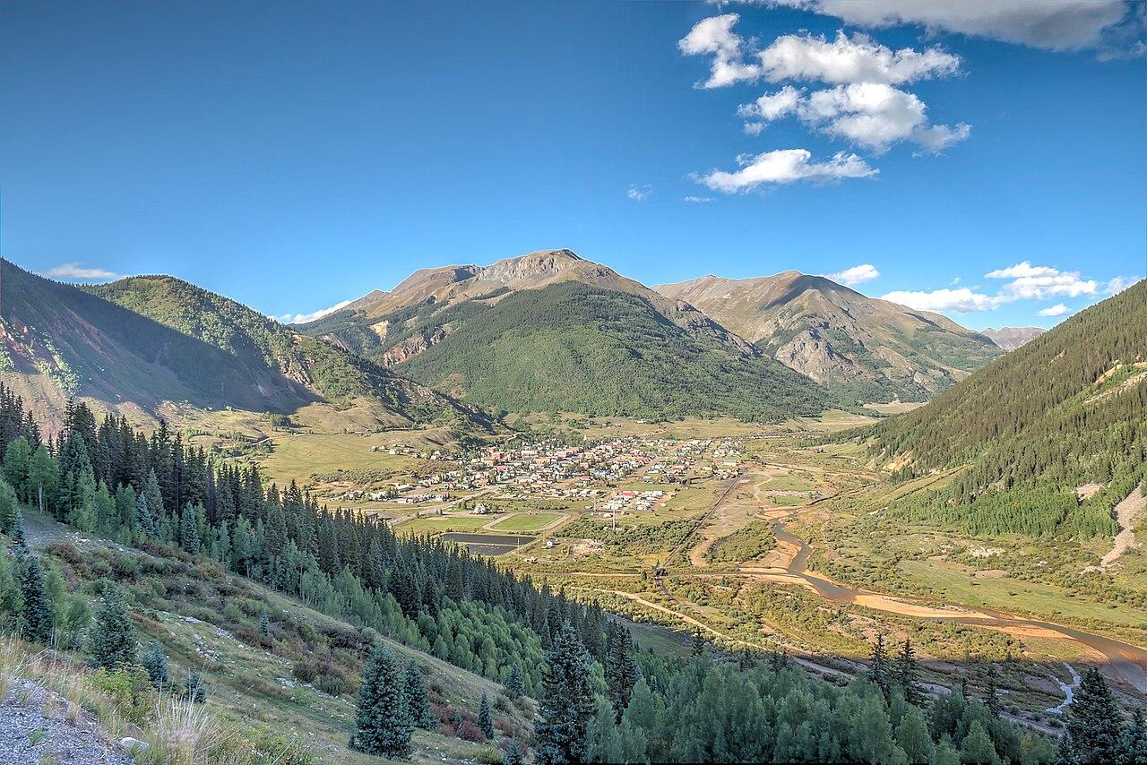
Silverton is a remote San Juan high-country planning page for alpine trails, pass roads, campgrounds, historic town stops, mountain-bike routes, and rugged scenic drives.
Make the Most of a Silverton Day
Use the forecast to decide whether high roads, alpine trailheads, campground plans, or town-based stops are realistic. Weather can turn serious quickly at this elevation.
Weather Tips for Silverton
- Lightning above treeline, cold wind, snow or ice, high-altitude sun, remote roads, rockfall, smoke, and limited cell service can all affect Silverton plans.
- Elevation can change temperature, wind, storm timing, road conditions, and sun exposure within a short drive.
- For campground days, check overnight lows, fire restrictions, storm timing, and how quickly shelter is available.
- Start early for high routes because afternoon storms, cold wind, and road issues can narrow your options quickly.
Nearby Towns and Areas
This page is meant to cover a roughly 25-mile outdoor-planning area around Silverton, including Silverton, nearby San Juan high passes, Alpine Loop approaches, Animas River corridor, and remote high-country trail and campground areas. It can also be useful when planning outdoor time near:
- Molas Pass
- Red Mountain Pass
- Animas Forks
- Alpine Loop
- Ice Lakes area
- Animas River
- Durango & Silverton corridor
- Engineer Pass approaches
Plan Around the Conditions
Use the forecast to choose the best version of Silverton rather than forcing one itinerary. Match elevation, heat, wind, storm timing, water conditions, trail surfaces, road conditions, fire restrictions, and seasonal closures to the activity that gives your group the most comfortable day.