
Mount Greylock State Reservation, MA
Today’s Forecast:
🧐 Adventure Bingo Game
Download the outdoor adventure Bingo game to keep kids engaged in the outdoors.
Today’s Report:
Hiking
Excellent for hiking. High near 68°F. Light wind (8 mph).
- Temp: Favorable conditions
- Rain: Favorable conditions
- Wind: Favorable conditions
- Thunderstorm: Favorable conditions
Biking
Excellent for biking. High near 68°F. Light wind (8 mph).
- Temp: Favorable conditions
- Rain: Favorable conditions
- Wind: Favorable conditions
- Thunderstorm: Favorable conditions
Camping
Excellent for camping. High near 68°F. Light wind (8 mph).
- Temp: Favorable conditions
- Rain: Favorable conditions
- Wind: Favorable conditions
- Thunderstorm: Favorable conditions
Outdoor Events / Activities
Excellent for outdoor events / activities. High near 68°F. Light wind (8 mph).
- Temp: Favorable conditions
- Rain: Favorable conditions
- Wind: Favorable conditions
- Thunderstorm: Favorable conditions
About Mount Greylock State Reservation
The representative forecast point covers the main visitor approach, but conditions can differ across high ground, forest interiors, distant access points. Important decisions involve summit wind, Appalachian Trail exposure, scenic-road status, campground operations and rapidly changing temperatures.
Planning an Outing at Mount Greylock State Reservation
Check the exact trail, route, campground, event, Nordic trail, winter trail notice that applies to the chosen activity. The observation near Adams should not be treated as proof of conditions across the entire coverage area.
Weather Tips for Mount Greylock State Reservation
- Leave ridges and high ground, exposed event areas when thunder is heard.
- Check wind, visibility, access and seasonal operations shortly before departure.
- Carry layers, sun protection and enough water for humidity, wind and rapid temperature changes.
- Follow official closures, wildlife restrictions and emergency instructions.
Nearby Towns and Areas
Use this forecast as practical context for plans near:
- Adams
- Lanesborough
- North Adams
- Cheshire
- Bascom Lodge
Adjust the Day to the Forecast
Replace the summit with a sheltered lower reservation loop when cloud, wind or lightning removes the ridge margin; winter users should remain on established routes rather than icy summer trails.
7-Day Forecast for Mount Greylock State Reservation
Mount Greylock State Reservation Weather by Season
Winter
Deep snow, wind chill and the seasonal summit-road closure move recreation to lower trails and established Nordic routes.
Spring
Snowmelt leaves shaded ice and mud while the auto road and campground reopen on separate schedules.
Summer
Ridge thunderstorms can build quickly above humid valleys; descend before lightning reaches the crest.
Fall
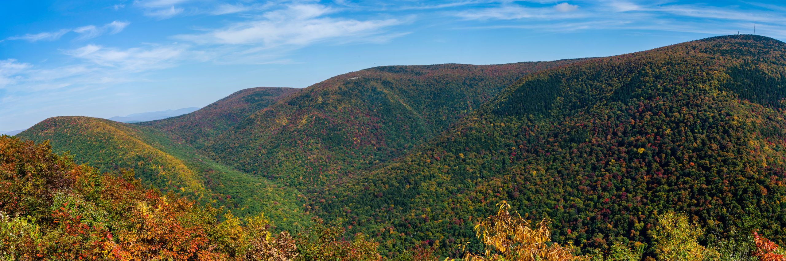
Clear, cool days draw heavy foliage traffic, followed by early summit frost or snow well before valley winter.
Key Climate Data Points
- Local climate: Berkshire high summit; annual mean temperature roughly low-to-mid 40s°F; about 45–55 inches precipitation; often 100+ inches summit snow; best hiking late spring through fall.
- Warmest period: Valleys are warmest in July, while the summit commonly stays cooler and windier even on hot afternoons.
- Coolest period: January brings the deepest cold; summit wind chill, rime and a long snow season can outlast valley winter.
- Primary storm or hazard season: Early frost, heavy summit snow and high wind can close or complicate the seasonal summit road from late fall well into spring.
- Best general outdoor window: Late June through September usually offers the most reliable road and trail access, with an early start useful during summer thunderstorms.