Texas

Home / Locations / Texas
  • Anahuac National Wildlife Refuge

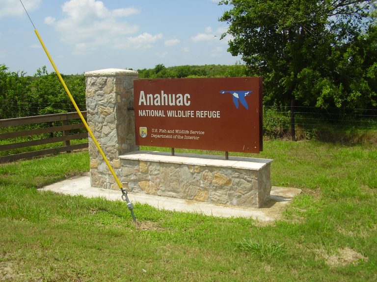
    Today’s Forecast: Today’s Report: About Anahuac National Wildlife Refuge Forecast guidance is centered on the principal visitor area near Anahuac. The wider coastal marsh and refuge setting reaches toward East Bay, so local wind and access deserve a second check. Plan Around Conditions Confirm the named launch, water level and wind exposure near Anahuac; a…

  • Big Bend National Park

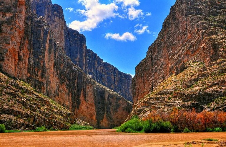
    Today’s Forecast: Today’s Report: About Big Bend National Park The representative point sits near Terlingua and anchors a desert, mountain and remote backcountry forecast. Compare it with conditions toward Rio Grande Village, where the terrain or water exposure can change the day. Plan Around Conditions Carry enough water and vehicle range for the exact backcountry…

  • Big Bend Ranch State Park

    Today’s Forecast: Today’s Report: About Big Bend Ranch State Park The selected coordinate represents the most useful planning point for visits near Presidio; conditions at Lajitas may respond differently to wind, runoff or exposure. Plan Around Conditions Confirm the named launch, water level and wind exposure near Presidio; a usable shoreline does not guarantee a…

  • Big Thicket National Preserve

    Today’s Forecast: Today’s Report: About Big Thicket National Preserve The representative point sits near Kountze and anchors a forest, wetland and river preserve forecast. Compare it with conditions toward Village Creek, where the terrain or water exposure can change the day. Plan Around Conditions Confirm the named launch, water level and wind exposure near Kountze;…

  • Bolivar Peninsula & Galveston Bay

    Today’s Forecast: Today’s Report: About Bolivar Peninsula & Galveston Bay This page connects recreation around Crystal Beach with High Island. A single point captures the broad weather pattern, while the named access areas supply the operating detail. Plan Around Conditions Confirm the named launch, water level and wind exposure near Crystal Beach; a usable shoreline…

  • Caddo Lake & State Park

    Today’s Forecast: Today’s Report: About Caddo Lake & State Park The selected coordinate represents the most useful planning point for visits near Karnack; conditions at Uncertain may respond differently to wind, runoff or exposure. Plan Around Conditions Confirm the named launch, water level and wind exposure near Karnack; a usable shoreline does not guarantee a…

  • Caprock Canyons State Park & Trailway

    Today’s Forecast: Today’s Report: About Caprock Canyons State Park & Trailway This page connects recreation around Quitaque with Lake Theo. A single point captures the broad weather pattern, while the named access areas supply the operating detail. Plan Around Conditions Check the campground or backcountry status near Quitaque, then carry water and turnaround time appropriate…
  • Chisos Mountains

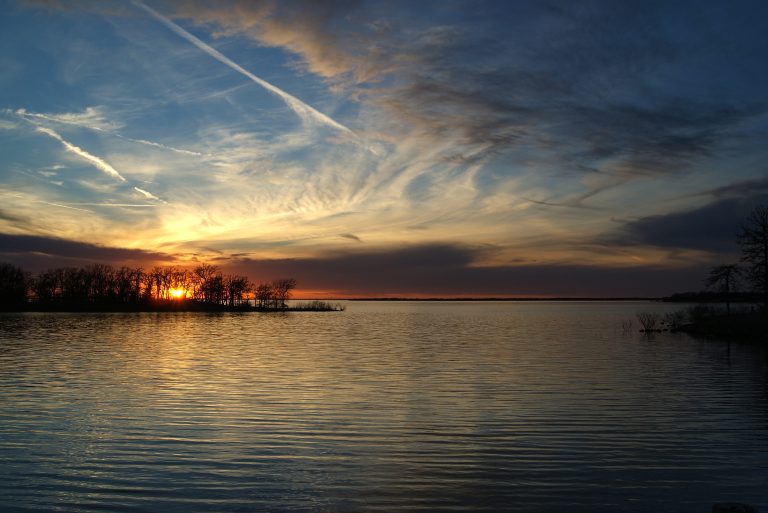
    Today’s Forecast: Today’s Report: About Chisos Mountains This page connects recreation around Chisos Basin with Emory Peak. A single point captures the broad weather pattern, while the named access areas supply the operating detail. Plan Around Conditions Compare the basin forecast with ridge-level temperature, wind and lightning before leaving the shaded basin routes. Consult the…

  • Choke Canyon Reservoir & State Park

    Today’s Forecast: Today’s Report: About Choke Canyon Reservoir & State Park Forecast guidance is centered on the principal visitor area near Three Rivers. The wider reservoir and brush-country park setting reaches toward Calliham Unit, so local wind and access deserve a second check. Plan Around Conditions Confirm the named launch, water level and wind exposure…

  • Corpus Christi Bay & Coastal Areas

    Today’s Forecast: Today’s Report: About Corpus Christi Bay & Coastal Areas The representative point sits near Corpus Christi and anchors a urban bay, harbor, shoreline and event hub forecast. Compare it with conditions toward Nueces Bay, where the terrain or water exposure can change the day. Plan Around Conditions Separate the Corpus Christi and Nueces…

  • Devils River State Natural Area

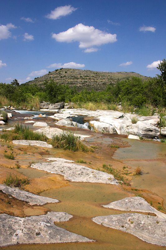
    Today’s Forecast: Today’s Report: About Devils River State Natural Area This page connects recreation around Del Norte Unit with Dan A. Hughes Unit. A single point captures the broad weather pattern, while the named access areas supply the operating detail. Plan Around Conditions Confirm the reservation, DRAP requirements when applicable, upstream gauges, legal camps and…

  • Enchanted Rock State Natural Area

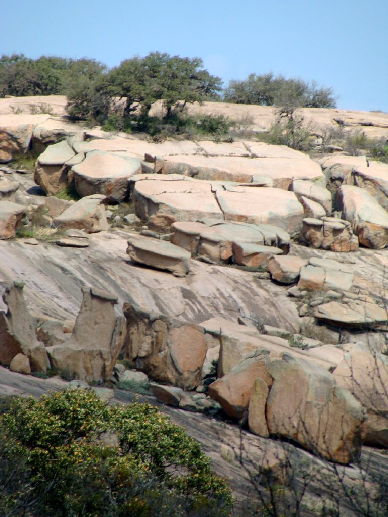
    Today’s Forecast: Today’s Report: About Enchanted Rock State Natural Area The selected coordinate represents the most useful planning point for visits near Llano; conditions at Mason may respond differently to wind, runoff or exposure. Plan Around Conditions Check the campground or backcountry status near Llano, then carry water and turnaround time appropriate to the least…

  • Falcon Lake & State Park

    Today’s Forecast: Today’s Report: About Falcon Lake & State Park The selected coordinate represents the most useful planning point for visits near Falcon Heights; conditions at Zapata may respond differently to wind, runoff or exposure. Plan Around Conditions Confirm the named launch, water level and wind exposure near Falcon Heights; a usable shoreline does not…

  • Galveston Island & Bay

    Today’s Forecast: Today’s Report: About Galveston Island & Bay The representative point sits near Galveston and anchors a barrier island, bay and urban coast forecast. Compare it with conditions toward Galveston Island State Park, where the terrain or water exposure can change the day. Plan Around Conditions Confirm the named launch, water level and wind…

  • Garner State Park & Frio River

    Today’s Forecast: Today’s Report: About Garner State Park & Frio River The representative point sits near Concan and anchors a spring-fed river and park forecast. Compare it with conditions toward Frio River, where the terrain or water exposure can change the day. Plan Around Conditions Confirm the named launch, water level and wind exposure near…

  • Grapevine Lake & Northwest DFW

    Today’s Forecast: Today’s Report: About Grapevine Lake & Northwest DFW Forecast guidance is centered on the principal visitor area near Grapevine. The wider reservoir and suburban recreation hub setting reaches toward Flower Mound, so local wind and access deserve a second check. Plan Around Conditions Confirm the named launch, water level and wind exposure near…

  • Inks Lake & Longhorn Cavern

    Today’s Forecast: Today’s Report: About Inks Lake & Longhorn Cavern Forecast guidance is centered on the principal visitor area near Burnet. The wider lake, cavern and state-park complex setting reaches toward Inks Lake State Park, so local wind and access deserve a second check. Plan Around Conditions Confirm the named launch, water level and wind…

  • Laguna Atascosa & Arroyo Colorado

    Today’s Forecast: Today’s Report: About Laguna Atascosa & Arroyo Colorado This page connects recreation around Harlingen with Laguna Atascosa National Wildlife Refuge. A single point captures the broad weather pattern, while the named access areas supply the operating detail. Plan Around Conditions Use only designated refuge routes and legal launches at places such as Adolph…

  • Lake Texoma

    Today’s Forecast: Today’s Report: About Lake Texoma The representative point sits near Denison and anchors a large interstate reservoir forecast. Compare it with conditions toward Eisenhower State Park, where the terrain or water exposure can change the day. Plan Around Conditions Check large-lake wind, Denison Dam operations and the rules on the side of the…

  • Lost Maples State Natural Area

    Today’s Forecast: Today’s Report: About Lost Maples State Natural Area The selected coordinate represents the most useful planning point for visits near Vanderpool; conditions at Sabinal River may respond differently to wind, runoff or exposure. Plan Around Conditions Check the campground or backcountry status near Vanderpool, then carry water and turnaround time appropriate to the…

  • Mustang Island & Port Aransas

    Today’s Forecast: Today’s Report: About Mustang Island & Port Aransas This page connects recreation around Port Aransas with Mustang Island State Park. A single point captures the broad weather pattern, while the named access areas supply the operating detail. Plan Around Conditions Check the north and south nearshore zones separately, then add ferry, tidal-pass and…

  • Padre Island National Seashore

    Today’s Forecast: Today’s Report: About Padre Island National Seashore The selected coordinate represents the most useful planning point for visits near Malaquite Beach; conditions at Bird Island Basin may respond differently to wind, runoff or exposure. Plan Around Conditions Read the beach-driving report with tide, overwash and evacuation information before committing to a remote mile…

  • Palo Duro Canyon State Park

    Today’s Forecast: Today’s Report: About Palo Duro Canyon State Park The representative point sits near Canyon and anchors a canyon and prairie forecast. Compare it with conditions toward Amarillo, where the terrain or water exposure can change the day. Plan Around Conditions Check the campground or backcountry status near Canyon, then carry water and turnaround…

  • Pedernales Falls State Park

    Today’s Forecast: Today’s Report: About Pedernales Falls State Park The representative point sits near Johnson City and anchors a river, falls and trail park forecast. Compare it with conditions toward Pedernales River, where the terrain or water exposure can change the day. Plan Around Conditions Check the campground or backcountry status near Johnson City, then…

  • Possum Kingdom Lake

    Today’s Forecast: Today’s Report: About Possum Kingdom Lake This page connects recreation around Graford with Possum Kingdom State Park. A single point captures the broad weather pattern, while the named access areas supply the operating detail. Plan Around Conditions Confirm the named launch, water level and wind exposure near Graford; a usable shoreline does not…

  • Ray Roberts Lake State Park

    Today’s Forecast: Today’s Report: About Ray Roberts Lake State Park The selected coordinate represents the most useful planning point for visits near Pilot Point; conditions at Isle du Bois may respond differently to wind, runoff or exposure. Plan Around Conditions Confirm the named launch, water level and wind exposure near Pilot Point; a usable shoreline…

  • San Marcos River & Wimberley

    Today’s Forecast: Today’s Report: About San Marcos River & Wimberley Forecast guidance is centered on the principal visitor area near San Marcos. The wider spring river and regional trail hub setting reaches toward Wimberley, so local wind and access deserve a second check. Plan Around Conditions Confirm the named launch, water level and wind exposure…

  • Santa Elena Canyon & Rio Grande

    Today’s Forecast: Today’s Report: About Santa Elena Canyon & Rio Grande Forecast guidance is centered on the principal visitor area near Castolon. The wider river canyon setting reaches toward Santa Elena Canyon, so local wind and access deserve a second check. Plan Around Conditions Confirm the named launch, water level and wind exposure near Castolon;…

  • South Padre Island & Laguna Madre

    Today’s Forecast: Today’s Report: About South Padre Island & Laguna Madre Forecast guidance is centered on the principal visitor area near Port Isabel. The wider barrier island, bay and resort coast setting reaches toward Laguna Madre, so local wind and access deserve a second check. Plan Around Conditions Confirm the named launch, water level and…