Missouri

Home / Locations / Missouri
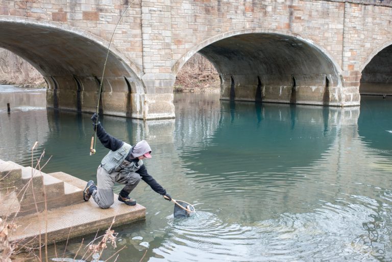
  • Bennett Spring State Park

    Today’s Forecast: Today’s Report: About Bennett Spring State Park This page connects the spring branch trout zones, hatchery, park trails and campground, where exposure and operating notices matter as much as the regional forecast. Planning an Outing A workable outing depends on spring flooding, fishing-zone operation, cold water, heat, lightning and camping. Match the forecast…

  • Castlewood State Park

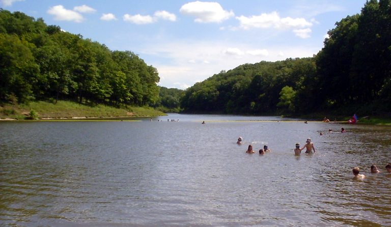
    Today’s Forecast: Today’s Report: About Castlewood State Park The destination brings together Castlewood’s bluff trails, designated mountain-bike routes and public Meramec bank fishing, with a representative land point chosen for local weather context. Planning an Outing Use the forecast to evaluate Meramec flooding, wet-trail closure, bluff footing, heat and debris, then confirm the operating rule…

  • Cuivre River State Park

    Today’s Forecast: Today’s Report: About Cuivre River State Park This page connects Lake Lincoln, Blackhawk Point mountain-bike trail, extensive hiking/backpacking routes and campgrounds, where exposure and operating notices matter as much as the regional forecast. Planning an Outing A workable outing depends on wet-trail closure, bluff footing, lake level, heat, freezing rain and campground operation….

  • Gateway Arch & Mississippi Riverfront

    Today’s Forecast: Today’s Report: About Gateway Arch & Mississippi Riverfront This page connects the Arch landscape, levee promenade and completed downtown riverfront bicycle connection, where exposure and operating notices matter as much as the regional forecast. Planning an Outing A workable outing depends on Mississippi stage, levee closure, heat, wind, lightning and bicycle access. Match…

  • Ha Ha Tonka State Park

    Today’s Forecast: Today’s Report: About Ha Ha Tonka State Park Ha ha tonka’s castle ruins, karst bridge, spring, bluff and trail system create different weather decisions within one practical trip. Planning an Outing Begin with karst flooding, slick stairs, bluff lightning, heat and closures. Check the exact facility notice before committing to this Ha Ha…

  • Harry S Truman Reservoir

    Today’s Forecast: Today’s Report: About Harry S Truman Reservoir This page connects the narrowed Benton County core around Warsaw, Long Shoal, Osage Bluff, marinas, ramps and campgrounds, where exposure and operating notices matter as much as the regional forecast. Planning an Outing A workable outing depends on pool level, releases, wind, lightning, ramp and campground…

  • Hawn State Park & Pickle Creek

    Today’s Forecast: Today’s Report: About Hawn State Park & Pickle Creek The destination brings together Whispering Pines, Pickle Creek Natural Area and Hawn developed and backpack camping, with a representative land point chosen for local weather context. Planning an Outing Use the forecast to evaluate slick sandstone, creek crossings, storm debris, heat, fire restrictions and…

  • Johnson’s Shut-Ins State Park

    Today’s Forecast: Today’s Report: About Johnson’s Shut-Ins State Park The shut-ins day-use area, scour trail, bicycle-permitted black river trail and campground create different weather decisions within one practical trip. Planning an Outing Begin with flash-flood closure, slick rhyolite, heat, lightning, parking and trail status. Check the exact facility notice before committing to this the shut-ins…

  • Lake of the Ozarks

    Today’s Forecast: Today’s Report: About Lake of the Ozarks The destination brings together Osage Beach, Bagnell Dam, state-park camping, principal marinas, protected coves, public golf and the Shootout, with a representative land point chosen for local weather context. Planning an Outing Use the forecast to evaluate wind, wakes, lightning, lake level, ramp status, turf, heat…

  • Lake Wappapello State Park

    Today’s Forecast: Today’s Report: About Lake Wappapello State Park The destination brings together state-park trails, rugged all-terrain bicycle route, two campgrounds, three ramps, coves and fishery, with a representative land point chosen for local weather context. Planning an Outing Use the forecast to evaluate pool level, wind, ramp status, refuge restrictions, heat, humidity and storms,…

  • Meramec & Onondaga Cave State Parks

    Today’s Forecast: Today’s Report: About Meramec & Onondaga Cave State Parks Meramec state park’s franklin county visitor core plus onondaga cave and vilander bluff in crawford county create different weather decisions within one practical trip. Planning an Outing Begin with Meramec flooding, cave-tour closure, slick entrances, launch, campground and bluff access. Check the exact facility…

  • Mingo National Wildlife Refuge

    Today’s Forecast: Today’s Report: About Mingo National Wildlife Refuge The visitor center, refuge trails, permitted cycling roads, canoe waters and designated fishing areas create different weather decisions within one practical trip. Planning an Outing Begin with road and boardwalk flooding, water depth, fog, heat, insects and management closure. Check the exact facility notice before committing…

  • Pomme de Terre Lake

    Today’s Forecast: Today’s Report: About Pomme de Terre Lake Visitors use this forecast for Pittsburg and Hermitage park units, Wheatland Park, Lightfoot Landing, ramps and protected arms; conditions can change quickly between sheltered and exposed facilities. Planning an Outing Review wind by lake arm, high water, lightning, water temperature and services before leaving. The representative…

  • Roaring River State Park

    Today’s Forecast: Today’s Report: About Roaring River State Park The destination brings together the spring branch trout zones, hatchery, park trails and developed campground, with a representative land point chosen for local weather context. Planning an Outing Use the forecast to evaluate spring flooding, fishing-zone operation, cold water, heat, lightning and camping, then confirm the…

  • Rock Bridge Memorial State Park

    Today’s Forecast: Today’s Report: About Rock Bridge Memorial State Park This page connects Rock Bridge, Devil’s Icebox entrance, Sinkhole and Gans Creek wild-area trails, where exposure and operating notices matter as much as the regional forecast. Planning an Outing A workable outing depends on karst flooding, slick rock, cave access, heat, debris and hunting visibility….

  • Snow Creek

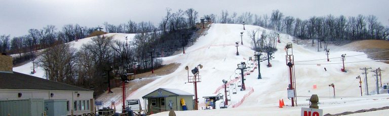
    Today’s Forecast: Today’s Report: About Snow Creek Visitors use this forecast for Snow Creek’s lift-served ski terrain and night operations; conditions can change quickly between sheltered and exposed facilities. Planning an Outing Review snowmaking temperature, rain, refreeze, grooming, lift status and icy roads before leaving. The representative point cannot replace a trail, harbor, river, campground…

  • Table Rock Lake & State Park

    Today’s Forecast: Today’s Report: About Table Rock Lake & State Park Table rock state park, white river valley trails, campground, marina, rentals and reservoir fishery create different weather decisions within one practical trip. Planning an Outing Begin with open-water wind, lake level, lightning, trail saturation, marina and campground status. Check the exact facility notice before…