
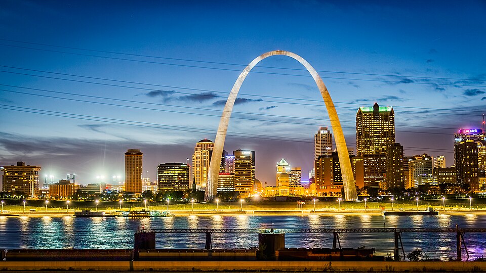
Gateway Arch & Mississippi Riverfront, MO
.jpg)
Today’s Forecast:
🧐 Adventure Bingo Game
Download the outdoor adventure Bingo game to keep kids engaged in the outdoors.
Today’s Report:
Biking
Excellent for biking. High near 65°F. Low rain risk (2%).
- Temp: Favorable conditions
- Rain: Favorable conditions
- Wind: Favorable conditions
- Thunderstorm: Favorable conditions
About Gateway Arch & Mississippi Riverfront
This page connects the Arch landscape, levee promenade and completed downtown riverfront bicycle connection, where exposure and operating notices matter as much as the regional forecast.
Planning an Outing
A workable outing depends on Mississippi stage, levee closure, heat, wind, lightning and bicycle access. Match the forecast to the chosen access rather than assuming every component operates alike.
Destination-Specific Access
Ordinary monument-ground use is hidden walking, not hiking; do not add events or casual Mississippi River water activities.
Weather Tips
- For this the Arch landscape, levee promenade and completed downtown riverfront bicycle connection, read the gauge trend and upstream rainfall because current and floating debris can change after local skies clear.
- Within the Arch landscape, levee promenade and completed downtown riverfront bicycle connection, honor posted wet-trail closures and keep bicycles off hiking-only routes.
Nearby Towns and Areas
- Gateway Arch
- Luther Ely Smith Square
- Mississippi River
- Downtown St. Louis
Adjust the Day to the Forecast
Replace natural-surface riding with a paved route when trails are closed.
7-Day Forecast
Weather by Season
Winter
Cold spells make Mississippi stage more consequential, while a quick warmup can leave shaded ground icy and exposed ground soft.
Spring
New vegetation and saturated soil magnify lightning and bicycle access; wait for the posted reopening instead of testing a closed route.
Summer
The heat index and lightning and bicycle access deserve separate checks, especially when shade, water or rapid shelter is limited.
Fall
Cooler air improves comfort, but leaf cover and lightning and bicycle access can hide changing footing or access restrictions.
Key Climate Data Points
- Local climate: This local planning area has an annual average temperature near 55–58°F, receives about 40–46 inches of precipitation and records typically 10–18 inches.
- Wettest season: Spring and early summer.
- Driest season: Late summer or early fall.
- Annual average temperature: Near 55–58°f.
- Annual snowfall: Typically 10–18 inches.