
Chittenango Falls State Park
Today’s Forecast:
Today’s Report:
Hiking
Use Caution for hiking. High near 80°F. Risk of rain later today (35%). Slight chance of thunderstorms.
- Temp: Marginal weather factor
- Rain: Marginal weather factor
- Wind: Favorable conditions
- Thunderstorm: Marginal weather factor
Outdoor Events / Activities
Use Caution for outdoor events / activities. High near 80°F. Risk of rain later today (35%). Slight chance of thunderstorms.
- Temp: Favorable conditions
- Rain: Marginal weather factor
- Wind: Favorable conditions
- Thunderstorm: Marginal weather factor
Camping
Use Caution for camping. High near 80°F. Risk of rain later today (35%). Slight chance of thunderstorms.
- Temp: Marginal weather factor
- Rain: Marginal weather factor
- Wind: Favorable conditions
- Thunderstorm: Marginal weather factor
About Chittenango Falls State Park
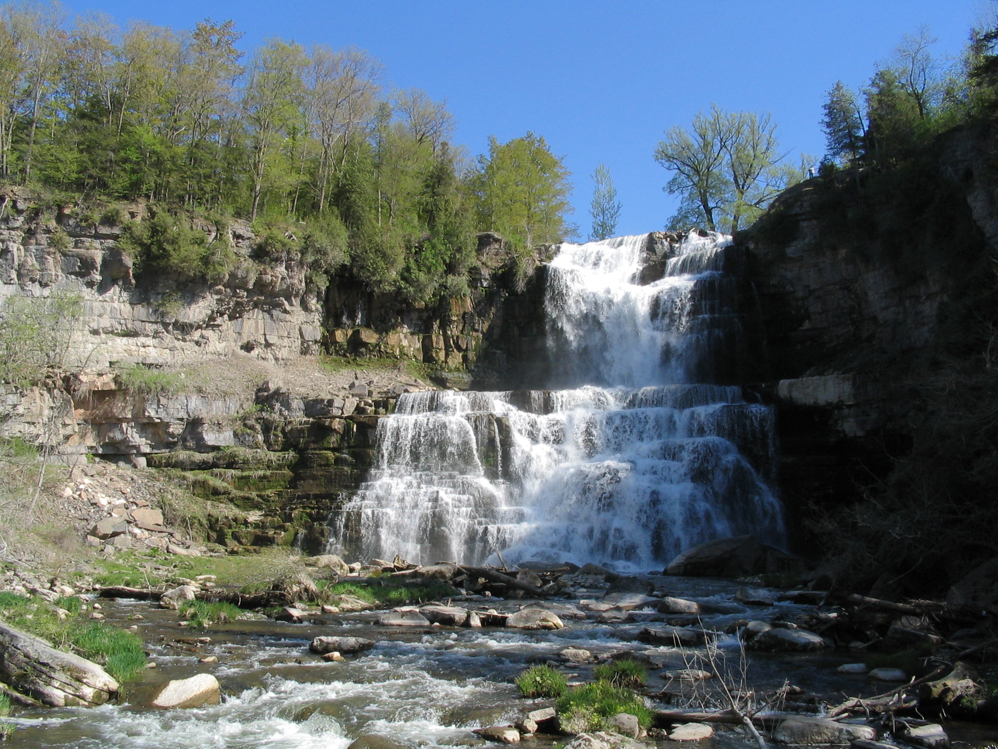
Chittenango Falls State Park is a New York destination for a named waterfall and gorge park with trails and winter scenery.
Make the Most of a Chittenango Falls State Park Day
Match the route, launch, facility, or turnaround time to precipitation, wind, temperature, visibility, water conditions, snow or ice, and seasonal access. Keep a shorter or more sheltered alternative ready.
Weather Tips for Chittenango Falls State Park, NY
- Check official access notices, alerts, trail or road conditions, and local forecasts before leaving.
- Turn around before exposed ridges, cliffs, overlooks, or open ground become unsafe in thunder, high wind, ice, or poor visibility.
- Bring layers, water, navigation, sun protection, and traction or flotation appropriate to the season and activity.
- Allow extra time for traffic, limited winter daylight, lake-effect snow, freeze-thaw mud, and seasonal facility schedules.
Nearby Towns and Areas
This page can also be useful when planning outdoor time near:
- Cazenovia
- Chittenango
- Cazenovia Lake
- Green Lakes
- Old Erie Canal
Plan Around the Conditions
Choose the safest version of a Chittenango Falls State Park day by matching the activity to current wind, precipitation, temperature, visibility, water or snow conditions, access, and daylight.
7-Day Forecast for Chittenango Falls State Park
Weather by Season
Winter
Winter at Chittenango Falls State Park brings cold, shorter daylight, and periodic snow or ice. Snow and ice can support the listed winter activities, but conditions and access must be confirmed locally.
Spring
Spring is changeable, with rain, mud, snowmelt, rising water, and lingering ice in shaded or elevated terrain. Lower routes and developed facilities generally become usable before exposed, backcountry, or high-elevation areas.
Summer
Summer usually provides the broadest access, but heat, humidity, thunderstorms, crowds, and occasional wildfire smoke can alter plans. Start exposed outings early and keep a weather-safe turnaround point.
Fall
Fall brings cooler air, foliage crowds, shorter daylight, and increasing wind. Early snow or ice can reach northern and elevated areas while lower valleys and coastal destinations remain milder.
Key Climate Data Points
- Annual average temperature: around 46–50°F, using the relevant local and elevation context.
- Annual snowfall: commonly 45–75 inches, with local elevation and lake-effect variation.
- Warmest months: July and August are normally warmest.
- Coolest months: January is typically coolest, with February similarly cold in northern and elevated areas.
- Wettest season: precipitation is distributed through the year, with late spring through summer often wettest from rain and thunderstorms.
- Driest season: no season is reliably dry statewide; early fall often provides the most stable outdoor windows.
- Best outdoor window: June through October for warm-season access, with midwinter best only where established winter recreation is supported.