
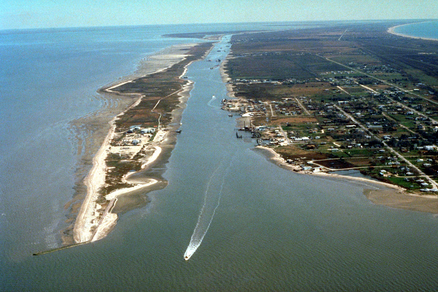
Bolivar Peninsula & Galveston Bay, TX
Today’s Forecast:
Show Alert Details & Instructions
Show Alert Details & Instructions
🧐 Adventure Bingo Game
Download the outdoor adventure Bingo game to keep kids engaged in the outdoors.
Today’s Report:
Hiking
Fair for hiking. High near 88°F. Low rain risk (10%). Light wind (10 mph). Slight chance of thunderstorms.
- Temp: Marginal weather factor
- Rain: Favorable conditions
- Wind: Favorable conditions
- Thunderstorm: Marginal weather factor
Camping
Fair for camping. High near 88°F. Low rain risk (10%). Light wind (10 mph). Slight chance of thunderstorms.
- Temp: Marginal weather factor
- Rain: Favorable conditions
- Wind: Favorable conditions
- Thunderstorm: Marginal weather factor
Boating
Fair for boating. High near 88°F. Low rain risk (10%). Light wind (10 mph). Slight chance of thunderstorms.
- Temp: Marginal weather factor
- Rain: Favorable conditions
- Wind: Favorable conditions
- Thunderstorm: Marginal weather factor
Paddling
Fair for paddling. High near 88°F. Low rain risk (10%). Breezy winds (10 mph). Slight chance of thunderstorms.
- Temp: Marginal weather factor
- Rain: Favorable conditions
- Wind: Marginal weather factor
- Thunderstorm: Marginal weather factor
Fishing
Fair for fishing. High near 88°F. Low rain risk (10%). Light wind (10 mph). Slight chance of thunderstorms.
- Temp: Marginal weather factor
- Rain: Favorable conditions
- Wind: Favorable conditions
- Thunderstorm: Marginal weather factor
About Bolivar Peninsula & Galveston Bay
This page connects recreation around Crystal Beach with High Island. A single point captures the broad weather pattern, while the named access areas supply the operating detail.
Plan Around Conditions
Confirm the named launch, water level and wind exposure near Crystal Beach; a usable shoreline does not guarantee a safe return trip. Consult the forecast, gauge, harbor or launch authority responsible for the exact water and access point before relying on conditional access.
Weather Tips
- Leave the Gulf-facing shore before a gust front or rising surf can make the route back from High Island difficult.
- Compare tide, visibility and water-quality notices for Crystal Beach with the separate wind forecast for the actual water used.
Nearby Towns and Areas
- Crystal Beach
- High Island
- Rollover Bay
- Bolivar Roads
- Fort Travis
Adjust the Day to the Forecast
If wind or water conditions rule out the planned launch, use a legal shore-fishing or land route near Crystal Beach instead of moving blindly to another access point.
7-Day Forecast
Weather by Season
Winter
Northers bring abrupt wind shifts, rough Gulf surf and cold-water exposure along Crystal Beach; ferry or beach-road access may lag improving skies.
Spring
Spring sea fog, strengthening onshore wind and changing beach access shape trips toward High Island; Gulf and bay forecasts should not be interchanged.
Summer
Heat index, rip currents, lightning, sargassum and water-quality notices shape Gulf-side use; bay-side wind can differ sharply near Crystal Beach.
Fall
Warm Gulf water keeps tropical swell, overwash and evacuation risk active through much of fall; a pleasant air temperature near High Island is not an all-clear.
Key Climate Data Points
- Local climate: Barrier peninsula, bay and birding coast conditions near Crystal Beach make ferry status the leading local planning signal.
- Annual mean temperature: Near Crystal Beach, the annual mean temperature is generally in the upper 60s to low 70s °F; Gulf and bay water moderates winter cold but adds humidity and wind exposure.
- Warmest or primary-use period: July and August bring the hottest air and warmest water, with humidity and tropical-season disruptions limiting long outings.
- Coldest or limited-access period: December through February is coolest; snow is unusual, but northers, cold water and isolated freezes can close exposed access.
- Most consequential precipitation period: Late spring and the tropical season is the most consequential precipitation period here because it can affect ferry status near High Island.
- Primary hazard timing: June through november tropical and coastal-flood risk most directly affects tide.
- Best general outdoor window: March through may and october through november between major coastal systems; the useful window still depends on ferry status.