
Cape Flattery, WA

Today’s Forecast:
🧐 Adventure Bingo Game
Download the outdoor adventure Bingo game to keep kids engaged in the outdoors.
Today’s Report:
Hiking
Excellent for hiking. High near 54°F. Light wind (8 mph).
- Temp: Marginal weather factor
- Rain: Favorable conditions
- Wind: Favorable conditions
- Thunderstorm: Favorable conditions
Outdoor Events / Activities
Good for outdoor events / activities. High near 54°F. Light wind (8 mph).
- Temp: Marginal weather factor
- Rain: Favorable conditions
- Wind: Favorable conditions
- Thunderstorm: Favorable conditions
Camping
Excellent for camping. High near 54°F. Light wind (8 mph).
- Temp: Favorable conditions
- Rain: Favorable conditions
- Wind: Favorable conditions
- Thunderstorm: Favorable conditions
About Cape Flattery
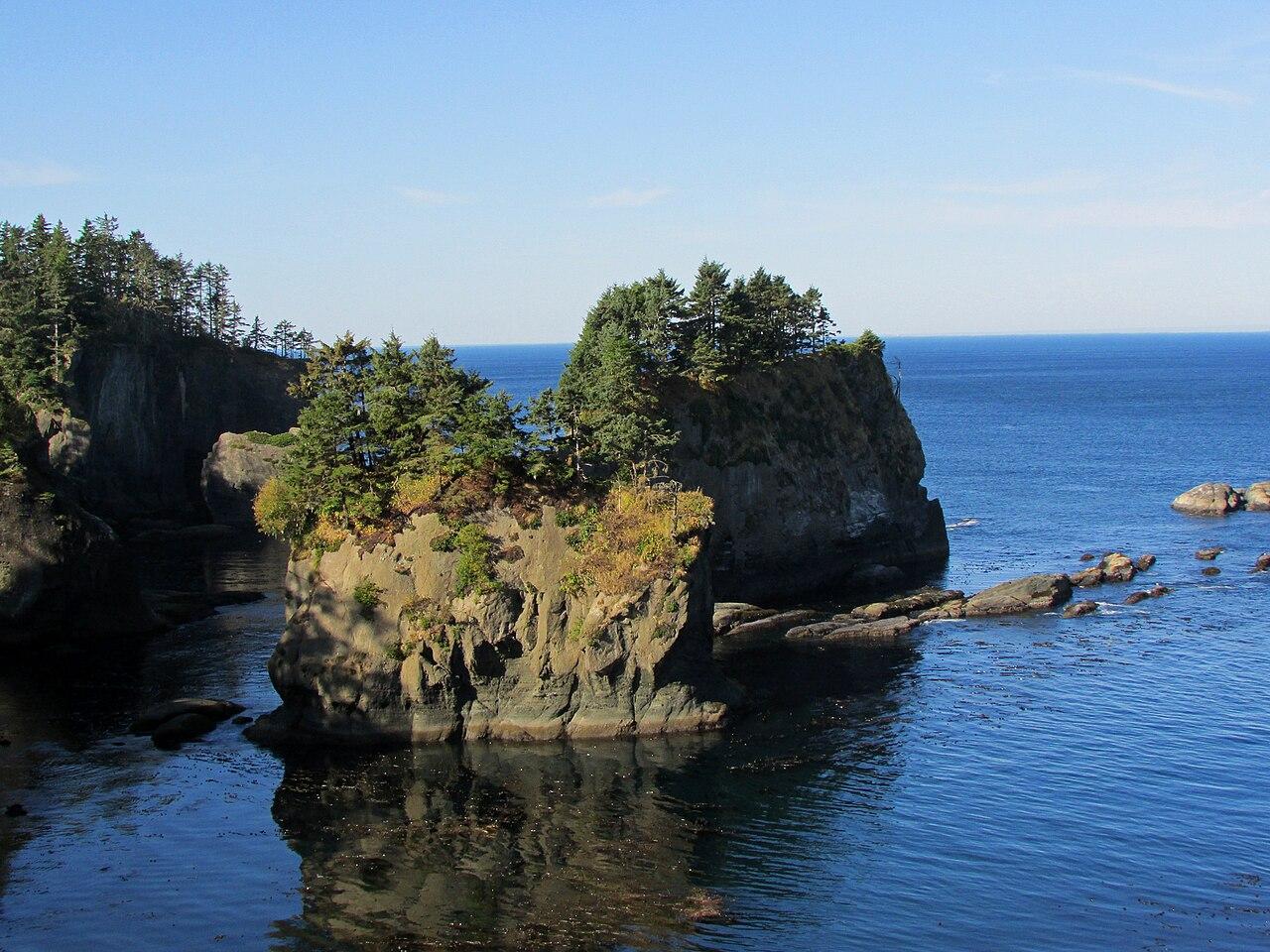
Cape Flattery is a Washington destination for the remote northwestern headland, short forest trail, cliffs, ocean viewpoints, and nearby Makah lands.
Make the Most of a Cape Flattery Day
Confirm tribal access requirements and local road conditions. Fog, strong wind, heavy rain, and limited services can turn a short trail into a longer travel day.
Weather Tips for Cape Flattery
- Check marine wind, fog, tides, current, surf, or ferry conditions as appropriate; the inland temperature alone is not enough.
- If thunder is possible, finish exposed viewpoints, ridges, golf, or event grounds early and keep substantial shelter close.
- Check overnight lows, wet ground, fire rules, drainage, and the nearest substantial shelter before settling into camp.
- Summer smoke, winter access, shoulder-season closures, and shorter fall daylight can matter even during an otherwise mild forecast.
Nearby Towns and Areas
This page can also be useful when planning outdoor time near:
- Neah Bay
- Makah Reservation
- Hobuck Beach
- Shi Shi Beach
- Tatoosh Island viewpoints
- Lake Ozette
- Strait of Juan de Fuca
Plan Around the Conditions
Use the forecast to choose the best version of a Cape Flattery day. Match wind, precipitation, smoke, water conditions, trail surfaces, road access, temperature, and daylight to the activity that gives your group the safest and most comfortable plan.
7-Day Forecast for Cape Flattery
Cape Flattery Weather by Season
Winter
Winter at Cape Flattery is cool and wet west of the Cascades, with occasional lowland snow or ice. Shaded roads, bridges, docks, and trails can remain slick after other surfaces clear.
Spring
Spring around Cape Flattery brings changing conditions, rising rivers, wet trails, and lingering mountain snow. Give muddy natural surfaces time to drain and avoid widening trails. Coastal wind and tides still control shoreline access.
Summer
Summer at Cape Flattery is usually the driest and most dependable season, but wildfire smoke, fire restrictions, heat, and afternoon thunderstorms can interrupt plans. Start exposed routes early and carry enough water. Marine fog and cold water can persist even on warm inland days.
Fall
Fall at Cape Flattery brings cooler temperatures, shorter daylight, changing color, and the return of wetter weather west of the Cascades. Early snow or ice may reach upper roads before lower elevations. Check seasonal facility hours and allow extra time on busy event or salmon-viewing weekends.
Key Climate Data Points
- Annual average temperature: around 50–52°F, using the relevant local or regional elevation context.
- Annual snowfall: snow is uncommon at sea level, while Olympic and Coast Range elevations receive more, with substantial year-to-year and elevation variation.
- Warmest months: July and August are normally warmest.
- Coolest months: December and January are typically coolest.
- Wettest season: November through January.
- Driest season: July and August.
- Best outdoor window: June through September, always planned around tides and surf.