Arizona

Home / Locations / Arizona
  • Bisbee

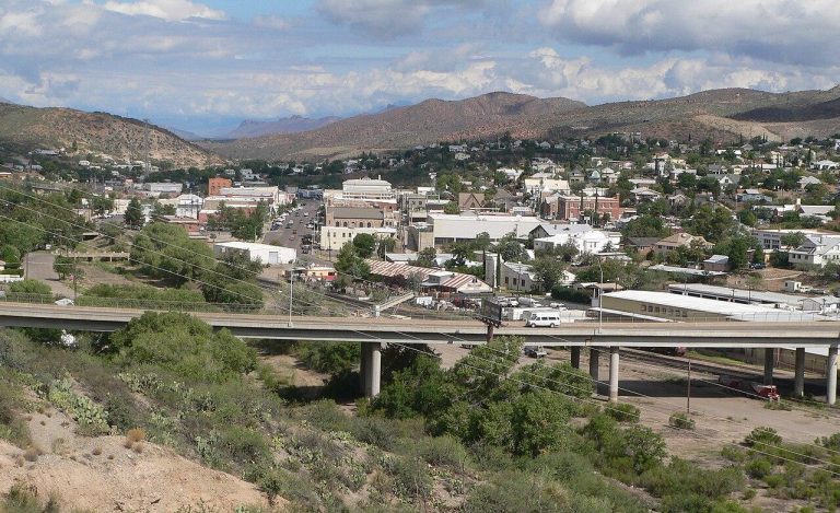
    Today’s Forecast: Today’s Report: About Bisbee Bisbee is a southeastern mountain-town planning page for steep historic streets, Mule Mountain scenery, event weekends, nearby hikes, bike outings, and high-desert road trips near the border. Make the Most of a Bisbee Day Plan around elevation, sun, wind, and storm timing. Bisbee can feel cooler than lower desert…

  • Bullhead City & Laughlin

    Today’s Forecast: Today’s Report: About Bullhead City & Laughlin Bullhead City & Laughlin is a Colorado River and Lake Mohave planning page for boating, paddling, riverfront paths, event weekends, casinos, and desert drives near the Nevada border. Make the Most of a Bullhead City Day Choose plans around heat, wind, current, and storm timing. Riverfront…

  • Canyon de Chelly

    Today’s Forecast: Today’s Report: About Canyon de Chelly Canyon de Chelly is a northeastern Arizona canyon destination for rim drives, overlooks, guided canyon access, Chinle-area stays, campground plans, and road-trip routing across Navajo country. Make the Most of a Canyon de Chelly Day Plan around storm timing, heat, wind, and the difference between rim viewpoints…

  • Chiricahua National Monument

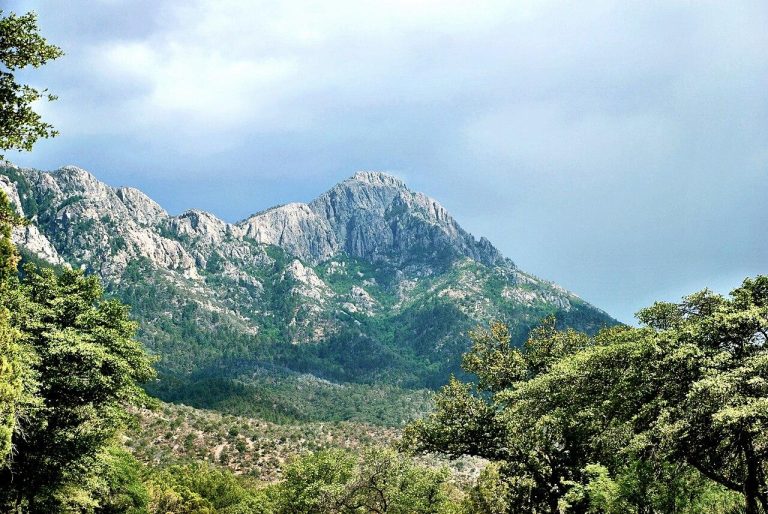
    Today’s Forecast: Today’s Report: About Chiricahua National Monument Chiricahua National Monument is a remote sky-island planning page for rhyolite formations, scenic drives, Bonita Canyon camping, day hikes, dark skies, and road trips from Willcox and Bowie. Make the Most of a Chiricahua National Monument Day Use the forecast to decide whether to hike longer loops,…

  • Cottonwood & Verde Valley

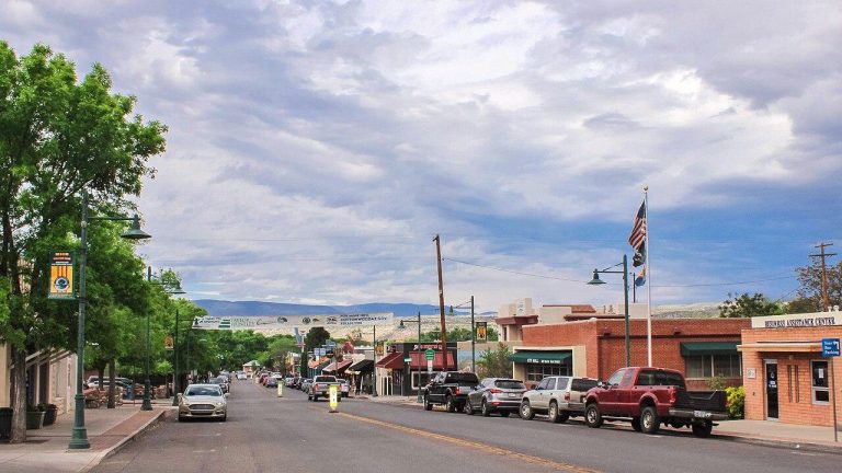
    Today’s Forecast: Today’s Report: About Cottonwood & Verde Valley Cottonwood & Verde Valley is a broader river-valley planning page for Dead Horse Ranch, Verde River access, Clarkdale, Jerome, Tuzigoot, Camp Verde, wineries, and scenic foothill drives. Make the Most of a Cottonwood & Verde Valley Day Use this page when planning a lower-elevation Verde Valley…

  • Flagstaff

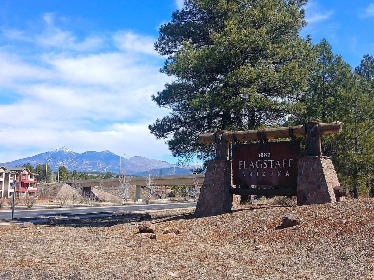
    Today’s Forecast: Today’s Report: About Flagstaff Flagstaff is a high-country outdoor hub for ponderosa forest trails, volcanic landscapes, mountain biking, campgrounds, winter snow, national monuments, and day trips across northern Arizona. Make the Most of a Flagstaff Day Use Flagstaff as a flexible base: choose forest trails and bike routes in stable weather, shift toward…

  • Globe & Tonto National Monument

    Today’s Forecast: Today’s Report: About Globe & Tonto National Monument Globe & Tonto National Monument is a high-desert and mountain-edge planning page for cliff dwelling visits, scenic drives, Pinal Mountain access, nearby campgrounds, and small-town stops. Make the Most of a Globe & Tonto National Monument Day Use the forecast to decide whether to stay…

  • Grand Canyon North Rim

    Today’s Forecast: Today’s Report: About Grand Canyon North Rim It is a remote high-country canyon destination for viewpoints, forested trails, scenic drives, campgrounds, and quieter rim time on the Kaibab Plateau. Make the Most of a Grand Canyon North Rim Day Plan around distance, season, and elevation before committing to a full North Rim day….

  • Grand Canyon South Rim

    Today’s Forecast: Today’s Report: About Grand Canyon South Rim Grand Canyon South Rim is a high-elevation canyon planning page for rim walks, corridor trail starts, campgrounds, viewpoints, shuttle-based sightseeing, and family outdoor time around the park’s busiest visitor area. Make the Most of a Grand Canyon South Rim Day Use the forecast to decide whether…

  • Greer & Mount Baldy

    Today’s Forecast: Today’s Report: About Greer & Mount Baldy Greer & Mount Baldy is a higher White Mountains planning page for cool forest trails, Little Colorado River headwaters, campgrounds, alpine lakes, cabin stays, and routes toward Sunrise Park. Make the Most of a Greer Day Plan around elevation, storms, road distance, and cold nights. This…

  • Kingman

    Today’s Forecast: Today’s Report: About Kingman Kingman is a western high-desert planning page for Route 66 stops, Hualapai Mountain escapes, desert hikes, campgrounds, scenic drives, and travel between the Colorado River and northern Arizona. Make the Most of a Kingman Day Use Kingman as a weather-aware base between hot desert roads and cooler mountain terrain….

  • Lake Havasu City

    Today’s Forecast: Today’s Report: About Lake Havasu City Lake Havasu City is a western Arizona lake page for boating, paddling, beaches, campgrounds, desert trails, London Bridge-area events, and Colorado River road trips. Make the Most of a Lake Havasu City Day Plan water time around wind, heat, and storms. In hot months, lake access can…

  • Lake Pleasant

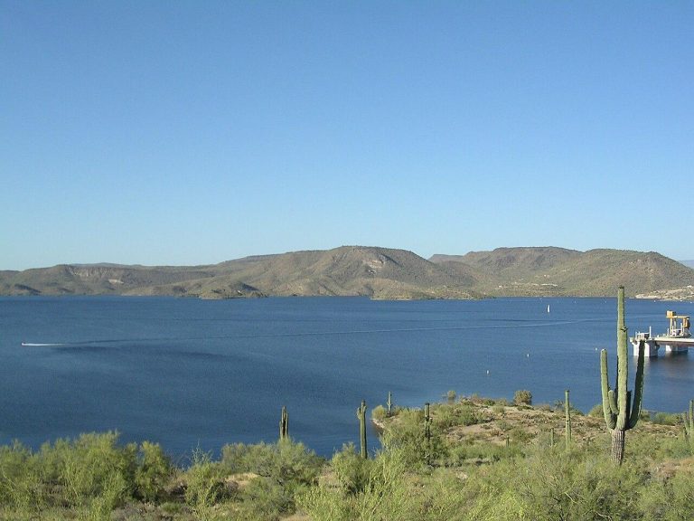
    Today’s Forecast: Today’s Report: About Lake Pleasant Lake Pleasant is a northwest Valley lake planning page for boating, paddling, shoreline camping, desert trails, marina time, and quick escapes from the Phoenix metro. Make the Most of a Lake Pleasant Day Start with wind, heat, and storm risk before choosing open-water plans. A sunny forecast is…

  • Lake Powell & Page

    Today’s Forecast: Today’s Report: About Lake Powell & Page Page & Lake Powell is a desert lake and canyon-country planning page for marinas, paddling routes, shoreline hikes, overlooks, slot-canyon tour staging, and Glen Canyon day trips. Make the Most of a Lake Powell Day Start with wind, heat, and storm timing before choosing open-water plans,…

  • Madera Canyon

    Today’s Forecast: Today’s Report: About Madera Canyon Madera Canyon is a Santa Rita Mountains planning page for canyon hikes, birding-focused outdoor time, picnic areas, Mount Wrightson routes, scenic drives, and cooler high-desert escapes south of Tucson. Make the Most of a Madera Canyon Day Use the forecast to choose between canyon walks, higher-elevation hikes, or…

  • Marble Canyon & Lees Ferry

    Today’s Forecast: Today’s Report: About Marble Canyon & Lees Ferry Marble Canyon & Lees Ferry is a Colorado River corridor page for river launches, canyon roads, campgrounds, short hikes, fishing access, and Vermilion Cliffs scenery. Make the Most of a Marble Canyon & Lees Ferry Day Use the forecast to decide whether river access, campground…

  • Mesa & Usery Mountain

    Today’s Forecast: Today’s Report: About Mesa Mesa & Usery Mountain is an East Valley desert planning page for Usery Mountain Regional Park, desert trails, campgrounds, bike routes, Salt River access, and family outdoor time. Make the Most of a Mesa & Usery Mountain Day Use early starts and short loops during heat, and watch for…

  • Mogollon Rim

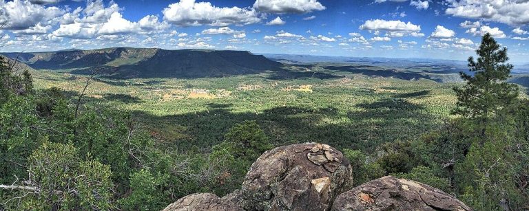
    Today’s Forecast: Today’s Report: About Mogollon Rim Mogollon Rim is a high-country forest and lake planning page for rim overlooks, campgrounds, Woods Canyon Lake, Willow Springs Lake, forest roads, and summer escapes above the desert. Make the Most of a Mogollon Rim Day Start with road, storm, and fire-restriction conditions before choosing a lake, campground,…

  • Monument Valley

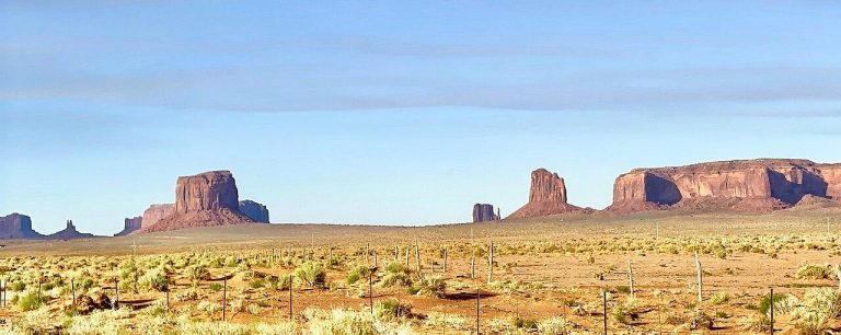
    Today’s Forecast: Today’s Report: About Monument Valley Monument Valley is a remote desert landscape planning page for scenic drives, guided experiences, campground stays, overlook time, and long-distance road trips through Navajo country. Make the Most of a Monument Valley Day Build plans around heat, wind, dust, daylight, and road distance. Services and shade are limited,…

  • Mount Lemmon

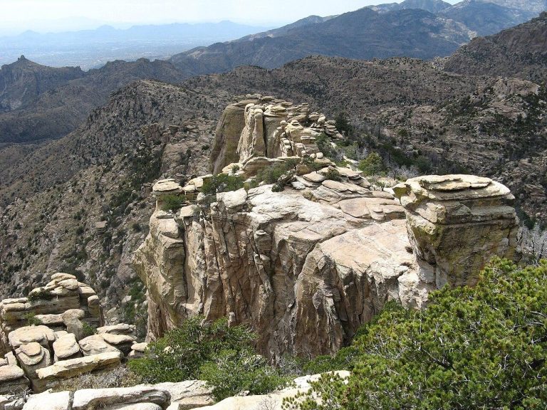
    Today’s Forecast: Today’s Report: About Mount Lemmon Mount Lemmon is a Santa Catalina Mountains planning page for the Catalina Highway, high-elevation trails, cooler summer escapes, campgrounds, cycling climbs, viewpoints, and Summerhaven-area stops. Make the Most of a Mount Lemmon Day Use elevation as part of the plan. Conditions can shift from desert heat near Tucson…

  • Navajo National Monument

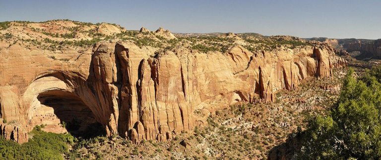
    Today’s Forecast: Today’s Report: About Navajo National Monument Navajo National Monument is a quiet plateau-and-canyon destination for overlooks, short hikes, seasonal guided access, campground nights, and road trips between Page, Kayenta, and Monument Valley. Make the Most of a Navajo National Monument Day Use the forecast to balance canyon overlooks, campground time, and longer drives….

  • Organ Pipe Cactus National Monument

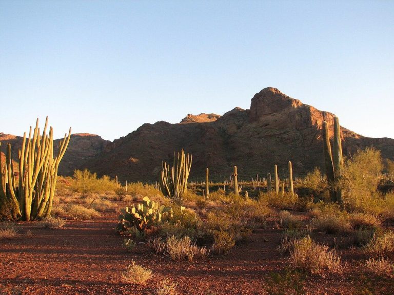
    Today’s Forecast: Today’s Report: About Organ Pipe Cactus National Monument Organ Pipe Cactus National Monument is a remote Sonoran Desert planning page for scenic drives, desert hikes, campground nights, stargazing, cactus landscapes, and long-distance travel near Ajo and Why. Make the Most of a Organ Pipe Cactus National Monument Day Plan conservatively around heat, daylight,…

  • Parker & Colorado River

    Today’s Forecast: Today’s Report: About Parker The Parker & Colorado River area s a lower Colorado River planning page for the Parker Strip, riverfront campgrounds, boating, paddling, state parks, and warm-weather weekend trips. Make the Most of a Parker Day Use wind, river traffic, heat, and storm timing to choose between open-water plans, shoreline camping,…

  • Payson

    Today’s Forecast: Today’s Report: About Payson Payson is a Rim Country base for forest trails, campgrounds, creek corridors, Tonto Natural Bridge trips, small-town events, and drives toward the Mogollon Rim. Make the Most of a Payson Day Use Payson for flexible planning between lower desert heat and higher rim weather. Storms, fire restrictions, and road…

  • Petrified Forest National Park

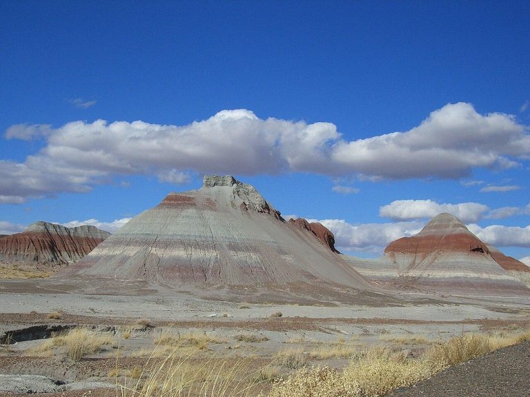
    Today’s Forecast: Today’s Report: About Petrified Forest National Park Petrified Forest National Park is an exposed Painted Desert and Route 66 planning page for short trails, scenic drives, overlooks, badlands walks, bicycling the park road, and road-trip stops. Make the Most of a Petrified Forest National Park Day Plan around sun, wind, and storm timing…

  • Phoenix

    Today’s Forecast: Today’s Report: About Phoenix Phoenix is a central metro planning page for city mountain preserves, paved paths, desert parks, outdoor events, patios, and short trail windows around the Valley of the Sun. Make the Most of a Phoenix Day Plan around heat first. In warm seasons, choose early starts, shaded or short routes,…

  • Prescott

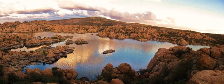
    Today’s Forecast: Today’s Report: About Prescott Prescott is a central highlands planning page for granite boulder trails, forest roads, lakes, campgrounds, bike routes, downtown events, and day trips in Prescott National Forest. Make the Most of a Prescott Day Use the forecast to choose between exposed lake loops, forested trails, bike routes, or town-based plans….

  • Roosevelt Lake

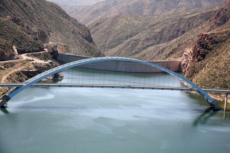
    Today’s Forecast: Today’s Report: About Roosevelt Lake Roosevelt Lake is a Tonto Basin reservoir page for boating, paddling, shoreline camping, fishing access, scenic drives, and trips that connect the Salt River lakes with Globe and Payson routes. Make the Most of a Roosevelt Lake Day Use wind, heat, storm timing, and road conditions to choose…

  • Safford & Mount Graham

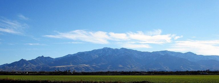
    Today’s Forecast: Today’s Report: About Safford & Mount Graham Safford & Mount Graham is an eastern Arizona planning page for Gila Valley parks, Roper Lake, mountain drives, high-elevation campgrounds, desert foothill hikes, and Pinaleno Mountain escapes. Make the Most of a Safford or Mount Graham Day Use elevation to shape the day: lower valley plans…

  • Saguaro National Park

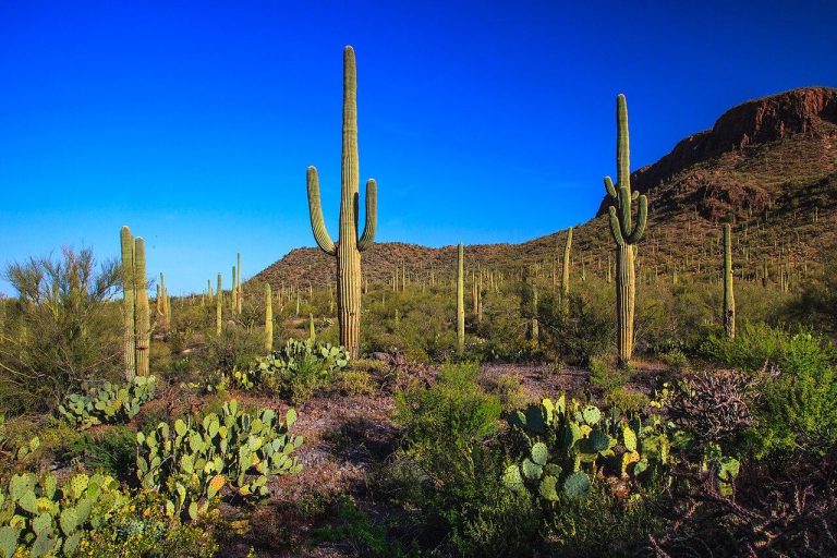
    Today’s Forecast: Today’s Report: About Saguaro National Park Saguaro National Park is a Sonoran Desert planning page for both park districts, cactus forest drives, hiking trails, biking windows, backcountry planning, and desert viewpoints around Tucson. Make the Most of a Saguaro National Park Day Use the forecast to choose the right district, route length, and…

  • Scottsdale & McDowell Sonoran Preserve

    Today’s Forecast: Today’s Report: About Scottsdale Scottsdale & McDowell Sonoran Preserve is a northeast Valley planning page for desert trails, mountain-bike routes, golf days, resort-area outdoor time, and scenic foothill access. Make the Most of a Scottsdale / McDowell Sonoran Preserve Day Use temperature, sun exposure, and storm timing to choose between preserve trails, golf,…

  • Sedona

    Today’s Forecast: Today’s Report: About Sedona Sedona is a red rock planning page for trailheads, mountain-bike routes, scenic drives, creekside stops, campgrounds, and outdoor time around Oak Creek and the surrounding sandstone country. Make the Most of a Sedona Day Use early starts in warm seasons, watch storm timing around exposed rock and washes, and…

  • Show Low & Pinetop-Lakeside

    Today’s Forecast: Today’s Report: About Pinetop-Lakeside Show Low & Pinetop-Lakeside is a White Mountains planning page for forest trails, lake days, campgrounds, family cabins, bike routes, and high-country escapes from the desert. Make the Most of a Show Low & Pinetop-Lakeside Day Use wind, storms, fire restrictions, and overnight lows to decide between lake time,…

  • Sierra Vista & Huachuca Mountains

    Today’s Forecast: Today’s Report: About Sierra Vista & Huachuca Mountains Sierra Vista & Huachuca Mountains is a southeastern sky-island planning page for canyon trails, mountain roads, bike routes, riparian walks, campgrounds, and San Pedro Valley outdoor time. Make the Most of a Sierra Vista & Huachuca Mountains Day Use this page to choose between mountain…

  • Sonoita & Patagonia

    Today’s Forecast: Today’s Report: About Sonoita & Patagonia Sonoita & Patagonia is a southern grasslands and lake-country planning page for Patagonia Lake, Sonoita Creek, rolling scenic roads, campgrounds, birding, small towns, and wine-country outdoor time. Make the Most of a Sonoita & Patagonia Day Use this page for a broader Santa Cruz County day rather…

  • Sun City West

    Today’s Forecast: Today’s Report: About Sun City West Sun City West is a Phoenix West Valley community where outdoor plans often revolve around golf, biking, walking, community events, and short trips to nearby desert parks and recreation areas. The area has plenty of sunny days, but the real question is often when conditions are comfortable…

  • Tombstone & Kartchner Caverns

    Today’s Forecast: Today’s Report: About Tombstone Tombstone & Kartchner Caverns is a southeastern Arizona planning page for historic outdoor walks, cave-tour days, Whetstone foothill scenery, campgrounds, Benson-area stops, and San Pedro Valley drives. Make the Most of a Tombstone This grouped page keeps nearby historic and cave destinations together. Use the weather to decide whether…

  • Tucson

    Today’s Forecast: Today’s Report: About Tucson Tucson is a southern Arizona planning page for desert trails, bike paths, golf, foothill parks, outdoor events, patios, and quick access to saguaro country and surrounding sky islands. Make the Most of a Tucson Day Plan around heat, sun, and storm timing, then choose between city paths, foothill hikes,…

  • Williams

    Today’s Forecast: Today’s Report: About Williams Williams is a Route 66 and Kaibab National Forest gateway for campgrounds, forest roads, lake stops, family attractions, and Grand Canyon South Rim approaches. Make the Most of a Williams Day Use Williams for a flexible forest-based day when the South Rim is crowded, stormy, or too long a…

  • Yuma

    Today’s Forecast: Today’s Report: About Yuma Yuma is a far southwestern desert planning page for Colorado River parks, paddling windows, golf, winter outdoor events, historic stops, and low-desert road trips. Make the Most of a Yuma Day Heat and sun exposure should drive the plan most of the year. In cooler months, Yuma can be…