
Safford & Mount Graham

Today’s Forecast:
Show Alert Details & Instructions
Today’s Report:
Hiking
Not Recommended for hiking. High near 107°F. Risk of rain later today (39%). Light wind (7 mph). Extreme heat (high near 107°F). Slight chance of thunderstorms. Temperatures outside comfort limits (107°F).
- Temp: Unfavorable weather factor
- Rain: Marginal weather factor
- Wind: Favorable conditions
- Heat: Unfavorable weather factor
- Thunderstorm: Marginal weather factor
- Alert: Unfavorable weather factor
Camping
Not Recommended for camping. High near 107°F. Risk of rain later today (39%). Light wind (7 mph). Extreme heat (high near 107°F). Slight chance of thunderstorms. Temperatures outside comfort limits (107°F).
- Temp: Unfavorable weather factor
- Rain: Marginal weather factor
- Wind: Favorable conditions
- Heat: Unfavorable weather factor
- Thunderstorm: Marginal weather factor
- Alert: Unfavorable weather factor
Outdoor Events / Activities
Not Recommended for outdoor events / activities. High near 107°F. Risk of rain later today (39%). Light wind (7 mph). Extreme heat (high near 107°F). Slight chance of thunderstorms. Temperatures outside comfort limits (107°F).
- Temp: Unfavorable weather factor
- Rain: Marginal weather factor
- Wind: Favorable conditions
- Heat: Unfavorable weather factor
- Thunderstorm: Marginal weather factor
About Safford & Mount Graham
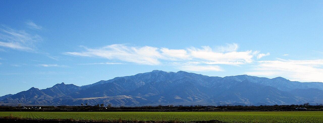
Safford & Mount Graham is an eastern Arizona planning page for Gila Valley parks, Roper Lake, mountain drives, high-elevation campgrounds, desert foothill hikes, and Pinaleno Mountain escapes.
Make the Most of a Safford or Mount Graham Day
Use elevation to shape the day: lower valley plans can be hot and exposed, while Mount Graham routes can be cooler, stormier, smoky, or wintery. Check roads and restrictions before climbing.
Weather Tips for Safford / Mount Graham
- Extreme valley heat, strong sun, lightning, mountain storms, cold high-elevation nights, wildfire restrictions, smoke, and winter road conditions can all affect plans.
- Elevation can change temperature, wind, storms, and road conditions quickly, even within a short drive.
- For campground days, check overnight lows, fire restrictions, storm timing, and how quickly shelter is available.
- Have a shore-based backup ready when wind, waves, or storms make open water less comfortable.
Nearby Towns and Areas
This page is meant to cover a roughly 25-mile outdoor-planning area around Safford & Mount Graham, including Safford, Thatcher, Roper Lake, Mount Graham and Pinaleno Mountain access, nearby Gila Valley parks, and Swift Trail Parkway routes. It can also be useful when planning outdoor time near:
- Thatcher
- Pinaleno Mountains
- Roper Lake State Park
- Dankworth Pond
- Gila Box routes
- Swift Trail Parkway
Plan Around the Conditions
Use the forecast to choose the best version of Safford & Mount Graham rather than forcing one itinerary. Match heat, sun exposure, wind, storm timing, water conditions, trail surfaces, fire restrictions, elevation, and road conditions to the activity that gives your group the most comfortable day.