
Iowa City & Coralville
.jpg)
Today’s Forecast:
Show Alert Details & Instructions
Show Alert Details & Instructions
Today’s Report:
Biking
Not Recommended for biking. High near 87°F. Low rain risk (3%).
- Temp: Marginal weather factor
- Rain: Favorable conditions
- Wind: Favorable conditions
- Thunderstorm: Favorable conditions
- Alert: Unfavorable weather factor
- Alert: Unfavorable weather factor
Outdoor Events / Activities
Good for outdoor events / activities. High near 87°F. Low rain risk (3%).
- Temp: Marginal weather factor
- Rain: Favorable conditions
- Wind: Favorable conditions
- Thunderstorm: Favorable conditions
Paddling
Excellent for paddling. High near 87°F. Low rain risk (3%).
- Temp: Marginal weather factor
- Rain: Favorable conditions
- Wind: Favorable conditions
- Thunderstorm: Favorable conditions
About Iowa City & Coralville
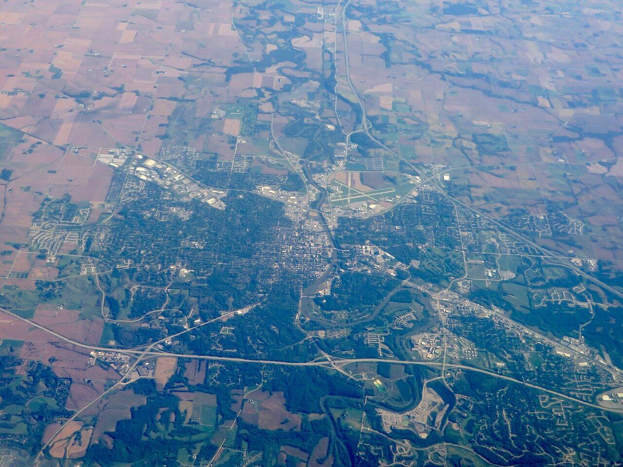
Iowa City & Coralville combines university-town events with Iowa River paths, metro bike trails, parks, paddling areas, and access to the Coralville Reservoir.
Make the Most of a Iowa City & Coralville Day
Check river and reservoir levels when planning low trails or launches. Event days can change parking and trail traffic, while heat and humidity make early rides and shaded routes more appealing.
Weather Tips for Iowa City & Coralville
- For Iowa City & Coralville, check temperature, wind, rain timing, and thunderstorm potential before choosing the day’s route.
- Wind, waves, current, water temperature, and lightning should guide water plans more than sunshine alone.
- After steady rain, favor paved paths or well-drained routes until natural surfaces recover.
- Open-country wind and summer humidity can make biking and hiking feel harder than the mileage suggests.
Nearby Towns and Areas
This page can also be useful when planning outdoor time near:
- North Liberty
- Iowa River
- Coralville Reservoir
- Terry Trueblood Recreation Area
- Clear Creek Trail
- University of Iowa
- Solon
- Sugar Bottom Recreation Area
Plan Around the Conditions
Use the forecast to choose the best version of a Iowa City & Coralville day. Match wind, storm timing, water levels, trail surfaces, road conditions, and temperature to the activity that gives your group the safest and most comfortable plan.
7-Day Forecast for Iowa City & Coralville
Iowa City & Coralville Weather by Season
Winter
Winter at Iowa City & Coralville brings cold, wind chill, snow, and freeze-thaw ice. Lake or river ice should never be judged from air temperature alone; use local access guidance. Check road and facility status before a long drive.
Spring
Spring around Iowa City & Coralville is changeable, with rain, muddy surfaces, rising waterways, and severe thunderstorms. Verify current, levels, ramps, and launch conditions before putting on the water. Lightning, hail, and strong wind can arrive well ahead of a rain core.
Summer
Summer days at Iowa City & Coralville are often warm and humid, with strong sun, mosquitoes, and afternoon thunderstorm potential. Morning commonly offers calmer water and a larger margin before storms. Carry water and use shade breaks during the hottest part of the day.
Fall
Fall is often one of the most comfortable seasons at Iowa City & Coralville, with lower humidity, cooler nights, and changing color. Water cools faster than the air, so paddlers and boaters should dress for immersion risk. Watch for harvest traffic on rural roads and hunting activity near public lands.
Key Climate Data Points
- Annual average temperature: around 51–52°F based on the surrounding Iowa region.
- Annual snowfall: generally 25–35 inches, with meaningful year-to-year variation.
- Warmest months: June through August are typically warmest, with July often bringing the highest heat and humidity.
- Coolest months: December through February are coldest, and January commonly has the strongest winter chill.
- Wettest season: late spring and early summer usually brings the greatest rainfall and thunderstorm frequency.
- Driest season: winter is normally driest, although snow, ice, and frozen ground still affect plans.
- Best outdoor window: April through October for trails, paddling, and events.