
Lake Memphremagog, VT
Today’s Forecast:
Today’s Report:
Boating
Not Recommended for boating. High near 39°F. Low rain risk (5%). Light wind (7 mph). Temperatures outside comfort limits (39°F).
- Temp: Unfavorable weather factor
- Rain: Favorable conditions
- Wind: Favorable conditions
- Thunderstorm: Favorable conditions
Paddling
Not Recommended for paddling. High near 39°F. Low rain risk (5%). Light wind (7 mph). Temperatures outside comfort limits (39°F).
- Temp: Unfavorable weather factor
- Rain: Favorable conditions
- Wind: Favorable conditions
- Thunderstorm: Favorable conditions
Fishing
Not Recommended for fishing. High near 39°F. Low rain risk (5%). Light wind (7 mph). Temperatures outside comfort limits (39°F).
- Temp: Unfavorable weather factor
- Rain: Favorable conditions
- Wind: Favorable conditions
- Thunderstorm: Favorable conditions
Outdoor Events / Activities
Not Recommended for outdoor events / activities. High near 39°F. Low rain risk (5%). Light wind (7 mph). Temperatures outside comfort limits (39°F).
- Temp: Unfavorable weather factor
- Rain: Favorable conditions
- Wind: Favorable conditions
- Thunderstorm: Favorable conditions
Ice Fishing
Fair for ice fishing. High near 39°F. Low rain risk (5%). Light wind (7 mph).
- Temp: Marginal weather factor
- Rain: Favorable conditions
- Wind: Favorable conditions
- Thunderstorm: Favorable conditions
About Lake Memphremagog
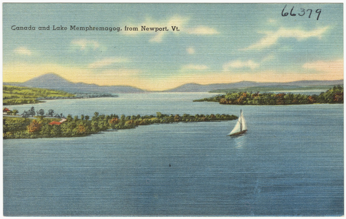
Weather at Lake Memphremagog affects more than temperature; surface conditions and access often decide which version of the day works. The corridor between Newport and Canada border can experience different access and surface conditions on the same day.
Planning an Outing at Lake Memphremagog
Check current observations and operating notices first, then choose distance and timing around the most exposed portion of the outing. For boating, paddling, fishing, verify the access serving Derby instead of assuming the whole destination is ready for use.
Weather Tips for Lake Memphremagog
- Check wind, waves, water temperature, launch or beach status, fog, thunderstorms, and current water-quality notices.
- Cold water remains hazardous long after comfortable air temperatures arrive, particularly in spring and fall.
- Use verified local reports before traveling onto ice; thickness can vary near currents, springs, structures, and shorelines.
- At Lake Memphremagog, verify the exact launch, shoreline, river reach, beach, or ice condition required for the selected activity.
Nearby Towns and Areas
Use this forecast as practical context for outdoor plans near:
- Newport
- Derby
- Coventry
- South Bay
- Prouty Beach
- Black River
- Canada border
Adjust the Day to the Forecast
Choose the route, launch, trail, lift, or event plan that preserves a useful margin for weather, access, and daylight.
7-Day Forecast for Lake Memphremagog
Lake Memphremagog Weather by Season
Winter
Winter brings wind, ice, short daylight, and rapidly changing snow. Verify operations and traction needs before using exposed or high terrain. Check conditions near South Bay because local access may change before the broader forecast does.
Spring
Spring is an extended transition of snowmelt, freeze-thaw, mud, cold rain, and seasonal closures. Respect trail and road restrictions. Check conditions near Prouty Beach because local access may change before the broader forecast does.
Summer
Summer offers broad access but also thunderstorms, humidity, bugs, ticks, smoke, and sudden mountain fog. Early starts preserve flexibility. Check conditions near Black River because local access may change before the broader forecast does.
Fall
Fall combines cool recreation weather with wet leaves, cold rain, early frost, and heavy foliage traffic. Daylight shortens quickly. Check conditions near Canada border because local access may change before the broader forecast does.
Key Climate Data Points
- Annual average temperature: roughly 44–49°F in the Champlain and major river valleys; elevation and proximity to large water create meaningful local variation.
- Annual snowfall: commonly 60–100 inches across northern or elevated interior areas, with more on nearby peaks.
- Warmest months: July is generally warmest, with cooler conditions at elevation and near open water.
- Coolest months: January is usually coolest, with persistent cold in northern and mountain areas.
- Wettest season: Precipitation is distributed through the year, with spring runoff and summer thunderstorms producing important access impacts.
- Driest season: Late winter is often comparatively dry, though snow cover remains substantial in mountain areas.
- Best outdoor window: Late spring through early fall for warm-season use after mud season; winter destinations depend on current snow, ice, and operations.