
Coopers Rock State Forest, WV
Today’s Forecast:
Today’s Report:
Hiking
Not Recommended for hiking. High near 36°F. Risk of rain later today (52%). Light wind (8 mph). Temperatures outside comfort limits (36°F).
- Temp: Unfavorable weather factor
- Rain: Marginal weather factor
- Wind: Favorable conditions
- Thunderstorm: Favorable conditions
Biking
Not Recommended for biking. High near 36°F. Rain forecast later today (52%). Light wind (8 mph). Temperatures outside comfort limits (36°F).
- Temp: Unfavorable weather factor
- Rain: Marginal weather factor
- Wind: Favorable conditions
- Thunderstorm: Favorable conditions
Camping
Not Recommended for camping. High near 36°F. Risk of rain later today (52%). Light wind (8 mph). Temperatures outside comfort limits (36°F).
- Temp: Unfavorable weather factor
- Rain: Marginal weather factor
- Wind: Favorable conditions
- Thunderstorm: Favorable conditions
Outdoor Events / Activities
Not Recommended for outdoor events / activities. High near 36°F. Rain forecast later today (52%). Light wind (8 mph). Temperatures outside comfort limits (36°F).
- Temp: Unfavorable weather factor
- Rain: Marginal weather factor
- Wind: Favorable conditions
- Thunderstorm: Favorable conditions
Sledding / Snowshoeing
Use Caution for sledding / snowshoeing. High near 36°F. Risk of rain later today (52%). Light wind (8 mph).
- Temp: Favorable conditions
- Rain: Marginal weather factor
- Wind: Favorable conditions
- Thunderstorm: Favorable conditions
About Coopers Rock State Forest
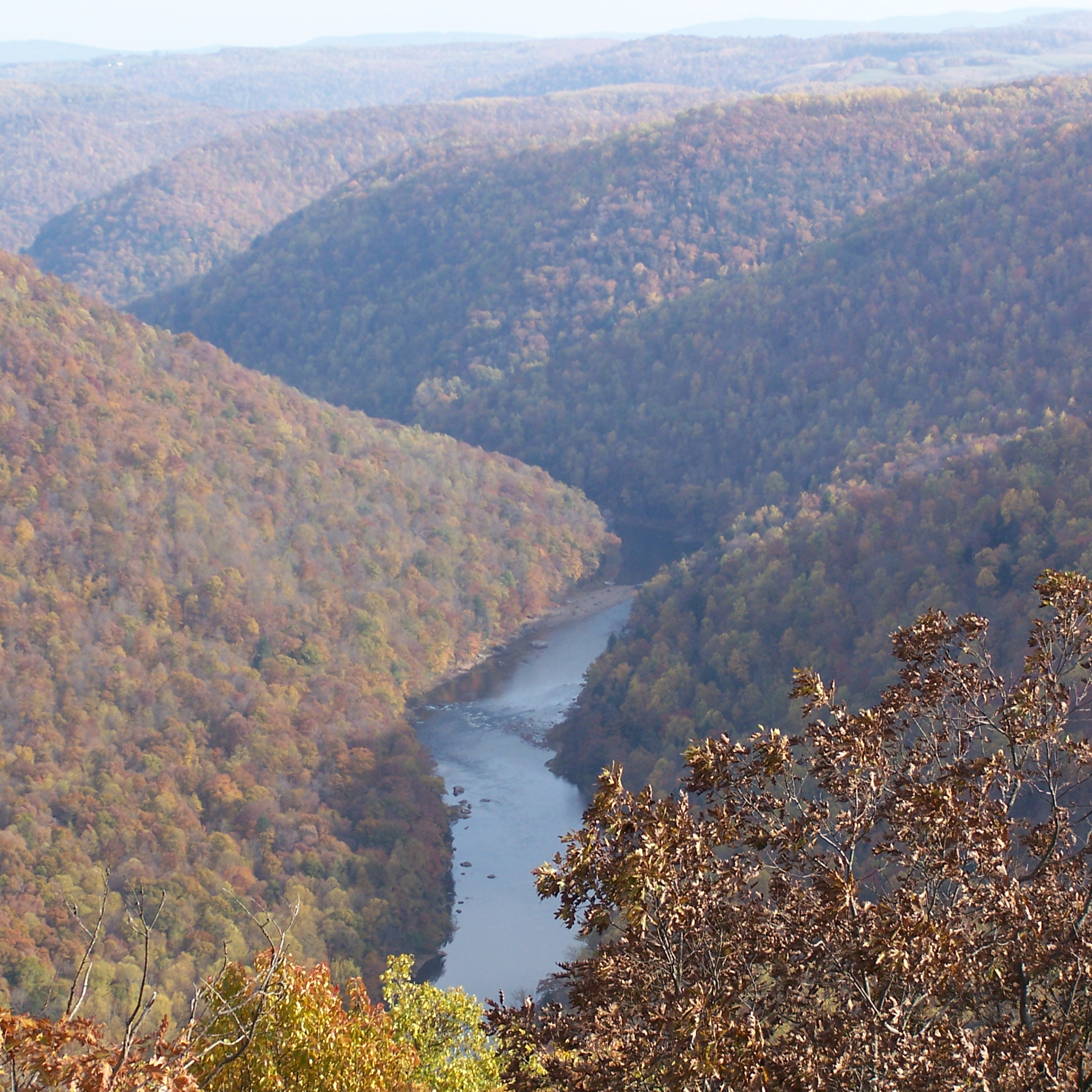
Coopers Rock State Forest covers varied terrain where elevation, tree cover, stream crossings, and road access create distinctly local conditions.
Planning an Outing at Coopers Rock State Forest
Compare the valley forecast with ridge conditions, then verify road, trail, facility, and event notices for the exact area you plan to use. Build in time for changing weather, daylight, and a shorter backup option.
Weather Tips for Coopers Rock State Forest
- Expect cooler temperatures, stronger wind, and lower visibility on ridges and exposed overlooks than in nearby towns.
- Carry an alternate route when fog, ice, fallen trees, or seasonal road closures affect high-country access.
- Verify snow cover, grooming, lift or trail operations, and road traction before committing to winter travel.
- Check official notices for Morgantown and the specific trailhead, campground, launch, or facility you intend to use.
Nearby Towns and Areas
Use this forecast as practical context for outdoor plans near:
- Morgantown
- Bruceton Mills
- Cheat Lake
- Raven Rock
- Chestnut Ridge
Adjust the Day to the Forecast
Choose the route, launch, campsite, trail plan, fishing window, or event time that leaves a useful margin for weather and access.
7-Day Forecast for Coopers Rock State Forest
Coopers Rock State Forest Weather by Season
Winter
Cold rain in the valleys may fall as snow or freezing precipitation higher up; confirm road treatment and facility hours. Established mountain recreation can be excellent when snow, grooming, and operations align. Check local conditions near Morgantown before departure.
Spring
Runoff and heavy showers can raise creeks, loosen slopes, and make unpaved access muddy; check the latest local closure notice. Check local conditions near Bruceton Mills before departure.
Summer
Warm humid afternoons can build thunderstorms quickly. Schedule exposed sections early and watch for changing water or visibility after downpours. Check local conditions near Cheat Lake before departure.
Fall
Foliage season brings comfortable afternoons and busy roads, while valley fog and frost can delay a safe morning start. Check local conditions near Raven Rock before departure.
Key Climate Data Points
- Annual average temperature: roughly 45–52°F in nearby valleys, with substantially cooler conditions on high ridges and summits.
- Annual snowfall: commonly 50–100 inches in mountain communities, with much more on the highest windward ridges.
- Warmest months: July is generally warmest, with cooler conditions at elevation and near open water.
- Coolest months: January is usually coolest, especially in high mountain valleys and on exposed ridges.
- Wettest season: Late spring is often wet; summer thunderstorms and tropical remnants can also produce heavy rain.
- Driest season: Early fall often provides comparatively settled periods, though rain remains possible year-round.
- Best outdoor window: Late spring through fall for most warm-season outings; winter destinations depend on current snow, access, and operations.