
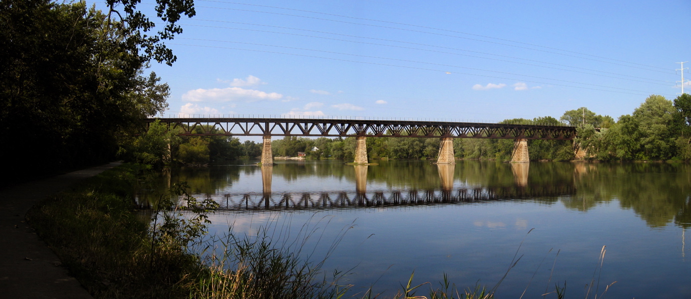
Fox River Trail at Elgin & Aurora, IL
Today’s Forecast:
🧐 Adventure Bingo Game
Download the outdoor adventure Bingo game to keep kids engaged in the outdoors.
Today’s Report:
Biking
Excellent for biking. High near 70°F. Low rain risk (2%).
- Temp: Favorable conditions
- Rain: Favorable conditions
- Wind: Favorable conditions
- Thunderstorm: Favorable conditions
Paddling
Excellent for paddling. High near 70°F. Low rain risk (2%).
- Temp: Favorable conditions
- Rain: Favorable conditions
- Wind: Favorable conditions
- Thunderstorm: Favorable conditions
Fishing
Excellent for fishing. High near 70°F. Low rain risk (2%).
- Temp: Favorable conditions
- Rain: Favorable conditions
- Wind: Favorable conditions
- Thunderstorm: Favorable conditions
About Fox River Trail at Elgin & Aurora
The destination brings together the completed Kane County trail and official launch-to-portage river reaches, with a representative land point chosen for local weather context.
Planning an Outing
Use the forecast to evaluate river stage, low-head dams, portages, flood-prone trail sections, heat, lightning and winter ice, then confirm the operating rule for the precise part of this an urban river-and-rail corridor you intend to use.
Weather Tips
- For this an urban river-and-rail corridor, read the gauge trend and upstream rainfall because current and floating debris can change after local skies clear.
- Within an urban river-and-rail corridor, honor posted wet-trail closures and keep bicycles off hiking-only routes.
Nearby Towns and Areas
- Elgin
- St. Charles
- Geneva
- Batavia
- Aurora
- Fox River Trail
Adjust the Day to the Forecast
Move to shore or a short protected trail when wind, waves, flow or access is unsuitable; otherwise, replace natural-surface riding with a paved route when trails are closed.
7-Day Forecast
Weather by Season
Winter
Freeze-thaw cycles leave shaded parts of this an urban river-and-rail corridor icy while exposed ground softens; verify roads and gates after storms.
Spring
Basin-wide rain can raise water and move debris through this an urban river-and-rail corridor; low access may remain closed after the crest.
Summer
Afternoon wind and lightning can end a water window on this an urban river-and-rail corridor; warm water may also bring advisories.
Fall
Cold water arrives before winter air on this an urban river-and-rail corridor; stronger fronts shorten launch windows and seasonal facilities reduce hours.
Key Climate Data Points
- Local climate: This local planning area has an annual average temperature about 49–52°F, receives roughly 35–39 inches of precipitation and records commonly 25–35 inches.
- Wettest season: Late spring and early summer.
- Driest season: Late winter and early fall.
- Annual average temperature: About 49–52°f.
- Annual snowfall: Commonly 25–35 inches.