
Lowden, Castle Rock & Rock River, IL
Today’s Forecast:
🧐 Adventure Bingo Game
Download the outdoor adventure Bingo game to keep kids engaged in the outdoors.
Today’s Report:
Hiking
Excellent for hiking. High near 69°F. Low rain risk (12%).
- Temp: Favorable conditions
- Rain: Favorable conditions
- Wind: Favorable conditions
- Thunderstorm: Favorable conditions
Camping
Excellent for camping. High near 69°F. Low rain risk (12%).
- Temp: Favorable conditions
- Rain: Favorable conditions
- Wind: Favorable conditions
- Thunderstorm: Favorable conditions
Boating
Excellent for boating. High near 69°F. Low rain risk (12%).
- Temp: Marginal weather factor
- Rain: Favorable conditions
- Wind: Favorable conditions
- Thunderstorm: Favorable conditions
Paddling
Excellent for paddling. High near 69°F. Low rain risk (12%).
- Temp: Marginal weather factor
- Rain: Favorable conditions
- Wind: Favorable conditions
- Thunderstorm: Favorable conditions
Fishing
Excellent for fishing. High near 69°F. Low rain risk (12%).
- Temp: Favorable conditions
- Rain: Favorable conditions
- Wind: Favorable conditions
- Thunderstorm: Favorable conditions
About Lowden, Castle Rock & Rock River
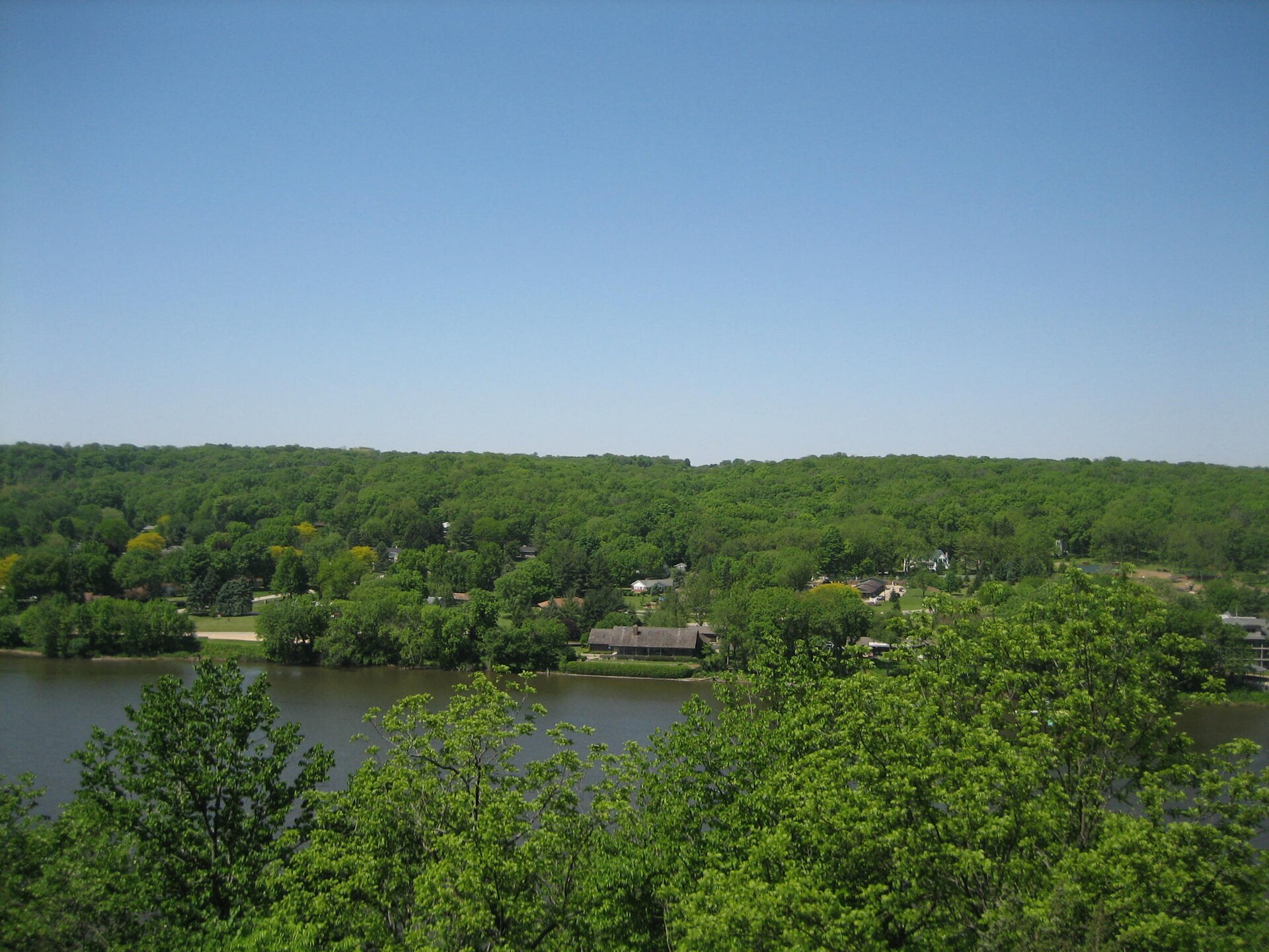
The two parks, their river ramps, lowden campground and castle rock primitive canoe camp create different weather decisions within one practical trip.
Planning an Outing
Begin with river stage, current, recreational traffic, fog, flooded ramps, bluff ice, wet trails and deer-season closure. Check the exact facility notice before committing to this a bluff-lined river corridor.
Weather Tips
- For this a bluff-lined river corridor, read the gauge trend and upstream rainfall because current and floating debris can change after local skies clear.
- Before camping at a bluff-lined river corridor, confirm loops, water service and gate hours with the managing agency.
Nearby Towns and Areas
- Oregon
- Lowden State Park
- Castle Rock State Park
- Rock River
- Black Hawk Statue
- Castle Rock canoe camp
Adjust the Day to the Forecast
Move to shore or a short protected trail when wind, waves, flow or access is unsuitable; otherwise, delay campsite setup until warned wind or lightning passes.
7-Day Forecast
Weather by Season
Winter
Freeze-thaw cycles leave shaded parts of this a bluff-lined river corridor icy while exposed ground softens; verify roads and gates after storms.
Spring
Basin-wide rain can raise water and move debris through this a bluff-lined river corridor; low access may remain closed after the crest.
Summer
Afternoon wind and lightning can end a water window on this a bluff-lined river corridor; warm water may also bring advisories.
Fall
Cold water arrives before winter air on this a bluff-lined river corridor; stronger fronts shorten launch windows and seasonal facilities reduce hours.
Key Climate Data Points
- Local climate: This local planning area has an annual average temperature about 49–52°F, receives roughly 35–39 inches of precipitation and records commonly 25–35 inches.
- Wettest season: Late spring and early summer.
- Driest season: Late winter and early fall.
- Annual average temperature: About 49–52°f.
- Annual snowfall: Commonly 25–35 inches.