
Channel Islands National Park, CA
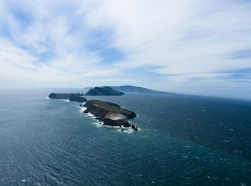

Today’s Forecast:
🧐 Adventure Bingo Game
Download the outdoor adventure Bingo game to keep kids engaged in the outdoors.
Today’s Report:
Hiking
Excellent for hiking. High near 76°F. Low rain risk (1%). Breezy winds (20 mph).
- Temp: Marginal weather factor
- Rain: Favorable conditions
- Wind: Marginal weather factor
- Thunderstorm: Favorable conditions
Paddling
Not Recommended for paddling. High near 76°F. Low rain risk (1%). Windy conditions (20 mph).
- Temp: Favorable conditions
- Rain: Favorable conditions
- Wind: Unfavorable weather factor
- Thunderstorm: Favorable conditions
Camping
Use Caution for camping. High near 76°F. Low rain risk (1%). Breezy winds (20 mph).
- Temp: Marginal weather factor
- Rain: Favorable conditions
- Wind: Marginal weather factor
- Thunderstorm: Favorable conditions
About Channel Islands National Park
Channel Islands National Park is an outdoor-planning page for visitor-accessible islands and mainland departure points. It has a distinct purpose centered on marine forecasts, ferry and boat access, wind, swell, cold water, and remote island conditions, with the forecast used to choose the safest and most comfortable version of the day.
Make the Most of a Channel Islands National Park Day
Start by comparing conditions across Ventura Harbor, Santa Barbara Harbor, and the rest of the coverage area. Choose among hiking, paddling, camping based on wind, precipitation, temperature, visibility, water or trail conditions, road access, smoke, and available daylight.
Weather Tips for Channel Islands National Park
- Conditions around visitor-accessible islands and mainland departure points can differ sharply from nearby towns; marine forecasts, ferry and boat access, wind, swell, cold water, and remote island conditions are the main planning variables.
- Check wind, waves, current, tides where relevant, water temperature, and lightning before launching; keep a land-based alternative ready.
- Cold ocean water, marine fog, swell, beach wind, and winter storms can matter even when the inland forecast looks mild.
- Crowds and parking can narrow the useful weather window, so arrive early and keep a lower-commitment nearby option.
Nearby Towns and Areas
This page covers visitor-accessible islands and mainland departure points. It can also be useful when planning outdoor time near:
- Ventura Harbor
- Santa Barbara Harbor
- Anacapa Island
- Santa Cruz Island
- Santa Rosa Island
- Prisoners Harbor
- Scorpion Anchorage
Plan Around the Conditions
Use the forecast to choose the best version of Channel Islands National Park rather than forcing one itinerary. A shorter route, earlier launch, sheltered shoreline, lower-elevation trail, or town-based backup can preserve the day when conditions change.
7-Day Forecast for Channel Islands National Park
Channel Islands National Park Weather by Season
Winter
At Channel Islands National Park, winter systems can cancel or delay ferries and boats, with strong wind, swell, rain, cold water, and rough exposed crossings. Remote island plans need extra food, layers, and enough flexibility for schedule changes.
Spring
Around visitor-accessible islands and mainland departure points, spring can be green and beautiful, but marine wind, swell, fog, and changeable crossings remain decisive. Landing conditions and limited shelter matter as much as the mainland forecast.
Summer
For marine forecasts, ferry and boat access, wind, swell, cold water, and remote island conditions, summer is drier, yet persistent wind, cold water, marine fog, and strong sun can coexist. Start with the marine forecast and operator guidance before committing to paddling, camping, or remote hikes.
Fall
Near Ventura Harbor and the surrounding area, early fall may offer calmer, clearer windows, though offshore wind events and swell still affect access. Shorter days increase the importance of ferry timing and conservative trail turnarounds.
Key Climate Data Points
- Warmest months: August through October.
- Coolest months: December through February.
- Wettest season: December through March.
- Driest season: July through September.
- Best outdoor window: Late spring through early fall when ferry, wind, swell, and landing conditions align.