California

Home / Locations / California
  • Alabama Hills & Lone Pine

    Today’s Forecast: Today’s Report: About Alabama Hills & Lone Pine Alabama Hills & Lone Pine is an outdoor-planning page for Alabama Hills and Lone Pine recreation corridor. It has a distinct purpose centered on desert heat, wind, exposure, limited shade, camping, and mountain-road approaches, with the forecast used to choose the safest and most comfortable…

  • Anza-Borrego Desert State Park

    Today’s Forecast: Today’s Report: About Anza-Borrego Desert State Park Anza-Borrego Desert State Park is an outdoor-planning page for Borrego Springs and the primary state-park desert basins. It has a distinct purpose centered on extreme heat, sun exposure, cold nights, flash floods, wind, storms, and remote roads, with the forecast used to choose the safest and…

  • Auburn & American River

    Today’s Forecast: Today’s Report: About Auburn & American River Auburn & American River is an outdoor-planning page for Auburn State Recreation Area and American River canyons. It has a distinct purpose centered on canyon trails, whitewater and snowmelt, heat, and foothill road access, with the forecast used to choose the safest and most comfortable version…

  • Big Bear Lake

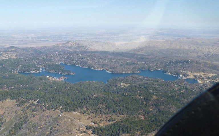
    Today’s Forecast: Today’s Report: About Big Bear Lake Big Bear Lake is an outdoor-planning page for Big Bear Valley and the lake shoreline. It has a distinct purpose centered on snow and ice, lake wind, thunderstorms, high elevation, smoke, and fire restrictions, with the forecast used to choose the safest and most comfortable version of…

  • Big Sur

    Today’s Forecast: Today’s Report: About Big Sur Big Sur is an outdoor-planning page for Highway 1 corridor from Garrapata through southern Big Sur. It has a distinct purpose centered on Highway 1 closures, landslides, remoteness, fog, winter storms, and fire, with the forecast used to choose the safest and most comfortable version of the day….

  • Bishop & Eastern Sierra

    Today’s Forecast: Today’s Report: About Bishop & Eastern Sierra Bishop & Eastern Sierra is an outdoor-planning page for Bishop, Owens Valley, and nearby Sierra trailheads. It has a distinct purpose centered on hot valley floors, snowy trailheads, elevation changes, wind, and remote roads, with the forecast used to choose the safest and most comfortable version…

  • Catalina Island

    Today’s Forecast: Today’s Report: About Catalina Island Catalina Island is an outdoor-planning page for Avalon, Two Harbors, and the island interior. It has a distinct purpose centered on ferry access, marine wind and swell, remote trails, camping, and limited services, with the forecast used to choose the safest and most comfortable version of the day….

  • Channel Islands National Park

    Today’s Forecast: Today’s Report: About Channel Islands National Park Channel Islands National Park is an outdoor-planning page for visitor-accessible islands and mainland departure points. It has a distinct purpose centered on marine forecasts, ferry and boat access, wind, swell, cold water, and remote island conditions, with the forecast used to choose the safest and most…

  • Chico & Bidwell Park

    Today’s Forecast: Today’s Report: About Chico & Bidwell Park Chico & Bidwell Park is an outdoor-planning page for Chico, Bidwell Park, and the lower foothills. It has a distinct purpose centered on summer heat, creek conditions, foothill trails, smoke, and events, with the forecast used to choose the safest and most comfortable version of the…

  • Crescent City & Smith River

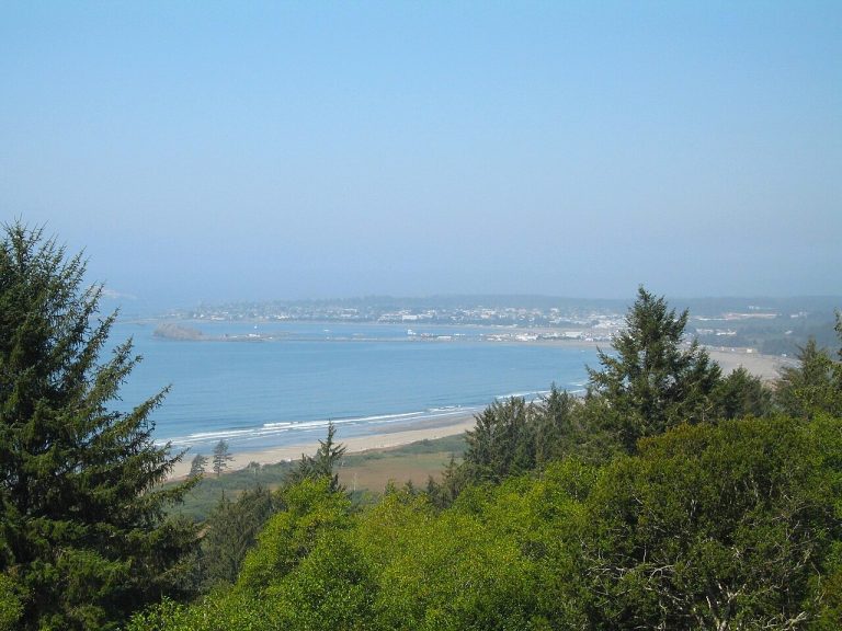
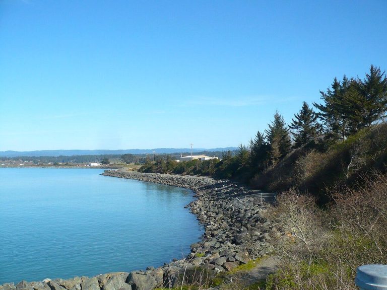
    Today’s Forecast: Today’s Report: About Crescent City & Smith River Crescent City & Smith River is an outdoor-planning page for Crescent City coast and lower Smith River. It has a distinct purpose centered on coastal-city, river, beach, and lagoon planning, with the forecast used to choose the safest and most comfortable version of the day….

  • Death Valley National Park

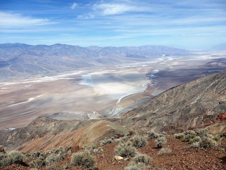
    Today’s Forecast: Today’s Report: About Death Valley National Park Death Valley National Park is an outdoor-planning page for Furnace Creek basin and principal park-road destinations. It has a distinct purpose centered on extreme heat, sun exposure, wind, flash floods, long drives, cold higher terrain, and remote travel, with the forecast used to choose the safest…

  • Desolation Wilderness

    Today’s Forecast: Today’s Report: About Desolation Wilderness Desolation Wilderness is an outdoor-planning page for western Tahoe backcountry from Echo Lakes to Loon Lake. It has a distinct purpose centered on backcountry snow, exposed granite, permits, thunderstorms, and fire restrictions, with the forecast used to choose the safest and most comfortable version of the day. Make…

  • East Bay Parks & Mount Diablo

    Today’s Forecast: Today’s Report: About East Bay Parks & Mount Diablo East Bay Parks & Mount Diablo is an outdoor-planning page for Oakland and Berkeley hills through Mount Diablo. It has a distinct purpose centered on inland heat, ridge wind, fire conditions, and a varied regional trail network, with the forecast used to choose the…

  • Emerald Bay

    Today’s Forecast: Today’s Report: About Emerald Bay Emerald Bay is an outdoor-planning page for Emerald Bay State Park and Highway 89 approaches. It has a distinct purpose centered on parking pressure, steep access, lake wind, snow, and Highway 89 conditions, with the forecast used to choose the safest and most comfortable version of the day….

  • Eureka & Humboldt Bay

    Today’s Forecast: Today’s Report: About Eureka & Humboldt Bay Eureka & Humboldt Bay is an outdoor-planning page for Eureka, Arcata, and Humboldt Bay waterfronts. It has a distinct purpose centered on urban trails, bay paddling, wetlands, and waterfront events, with the forecast used to choose the safest and most comfortable version of the day. Make…

  • Fort Bragg & MacKerricher

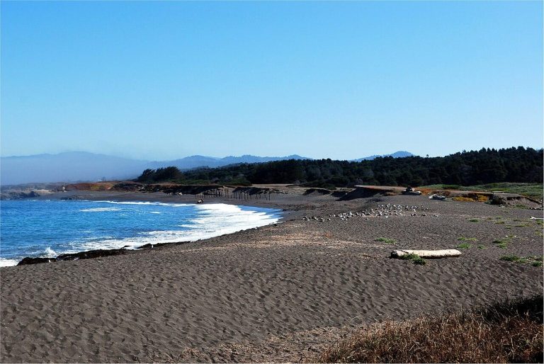
    Today’s Forecast: Today’s Report: About Fort Bragg & MacKerricher Fort Bragg & MacKerricher is an outdoor-planning page for Fort Bragg, Noyo Harbor, and northern Mendocino coast. It has a distinct purpose centered on harbor conditions, coastal trails, beaches, and paddling, with the forecast used to choose the safest and most comfortable version of the day….

  • Griffith Park

    Today’s Forecast: Today’s Report: About Griffith Park Griffith Park is an outdoor-planning page for Griffith Park, observatory approaches, and the trail network. It has a distinct purpose centered on parking pressure, exposed slopes, urban heat, smoke, trails, and events, with the forecast used to choose the safest and most comfortable version of the day. Make…

  • Half Moon Bay Coast

    Today’s Forecast: Today’s Report: About Half Moon Bay Coast Half Moon Bay Coast is an outdoor-planning page for Half Moon Bay, Pillar Point, and nearby state beaches. It has a distinct purpose centered on marine layer, swell, beach wind, bluff trails, and coastal traffic, with the forecast used to choose the safest and most comfortable…

  • Huntington Beach & Newport Beach

    Today’s Forecast: Today’s Report: About Huntington Beach & Newport Beach Huntington Beach & Newport Beach is an outdoor-planning page for Huntington shoreline, Bolsa Chica, Newport Harbor, and Upper Newport Bay. It has a distinct purpose centered on open-beach wind and surf plus protected-harbor tides, boat traffic, paddling, bike paths, and events, with the forecast used…

  • Idyllwild & Mount San Jacinto

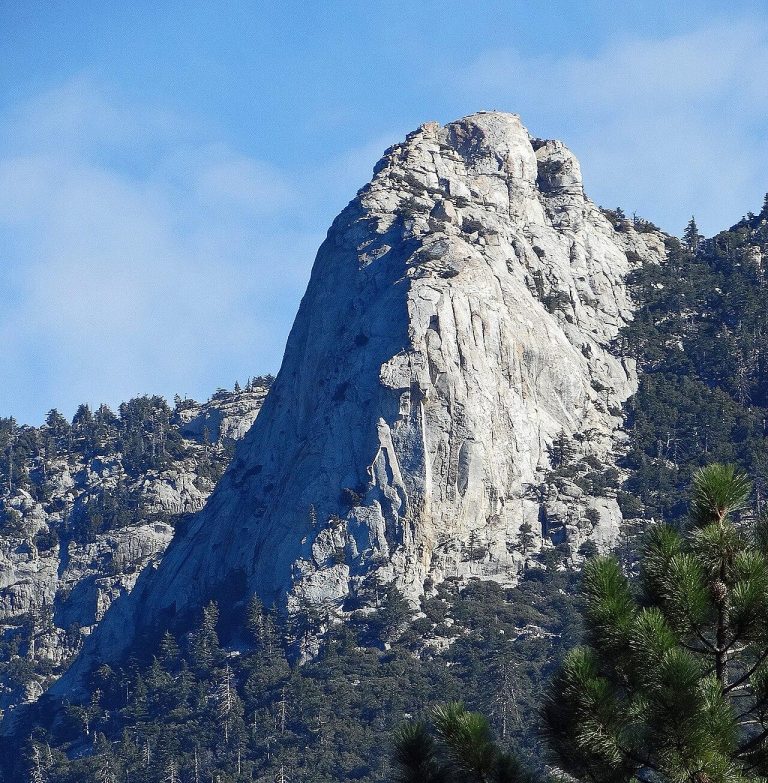
    Today’s Forecast: Today’s Report: About Idyllwild & Mount San Jacinto Idyllwild & Mount San Jacinto is an outdoor-planning page for Idyllwild, San Jacinto high country, and tram-access areas. It has a distinct purpose centered on sharp desert-to-mountain changes, snow, cold nights, thunderstorms, smoke, and road access, with the forecast used to choose the safest and…

  • Imperial Sand Dunes

    Today’s Forecast: Today’s Report: About Imperial Sand Dunes Imperial Sand Dunes is an outdoor-planning page for Glamis, Buttercup Valley, and eastern Imperial County dunes. It has a distinct purpose centered on extreme heat, sun, wind, blowing sand, cold nights, storms, crowds, and remote travel, with the forecast used to choose the safest and most comfortable…
  • Joshua Tree National Park

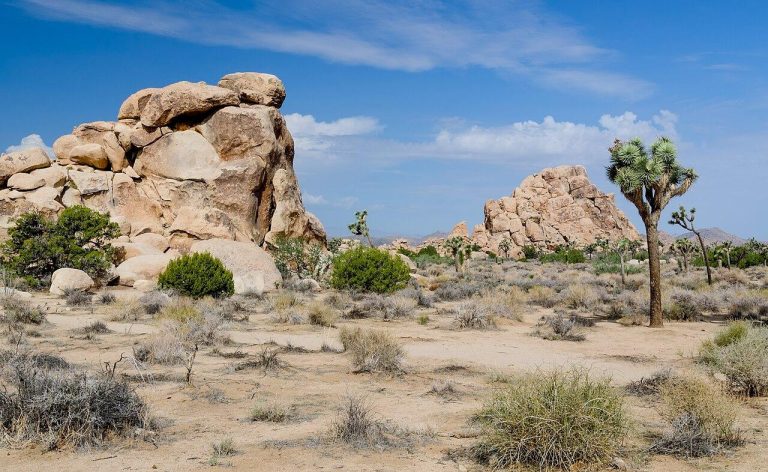
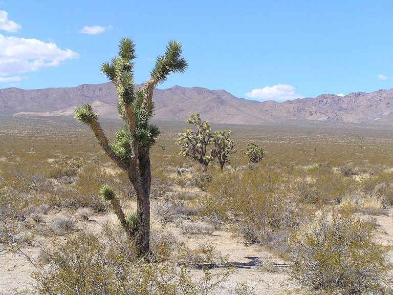
    Today’s Forecast: Today’s Report: About Joshua Tree National Park Joshua Tree National Park is an outdoor-planning page for main park roads, campgrounds, and trail areas. It has a distinct purpose centered on desert heat, strong sun, cold nights, wind, storms, crowds, and remote travel, with the forecast used to choose the safest and most comfortable…

  • Julian, Cuyamaca & Mount Laguna

    Today’s Forecast: Today’s Report: About Julian, Cuyamaca & Mount Laguna Julian, Cuyamaca & Mount Laguna is an outdoor-planning page for San Diego County mountain corridor. It has a distinct purpose centered on snow and ice, thunderstorms, wildfire, cold nights, elevation, and winding roads, with the forecast used to choose the safest and most comfortable version…

  • June Lake & Mono Lake

    Today’s Forecast: Today’s Report: About June Lake & Mono Lake June Lake & Mono Lake is an outdoor-planning page for June Lake Loop and the Mono Basin. It has a distinct purpose centered on lake wind, high-desert exposure, cold water, pass access, and smoke, with the forecast used to choose the safest and most comfortable…
  • Kern River & Lake Isabella

    Today’s Forecast: Today’s Report: About Kern River & Lake Isabella Kern River & Lake Isabella is an outdoor-planning page for Kern River canyon, Kernville, and Lake Isabella. It has a distinct purpose centered on snowmelt and river flow, reservoir wind, heat, storms, and fire restrictions, with the forecast used to choose the safest and most…

  • Kings Canyon National Park

    Today’s Forecast: Today’s Report: About Kings Canyon National Park Kings Canyon National Park is an outdoor-planning page for Grant Grove and Kings Canyon Scenic Byway corridor. It has a distinct purpose centered on deep-canyon heat, seasonal roads, river conditions, snow, and high-country storms, with the forecast used to choose the safest and most comfortable version…

  • La Jolla

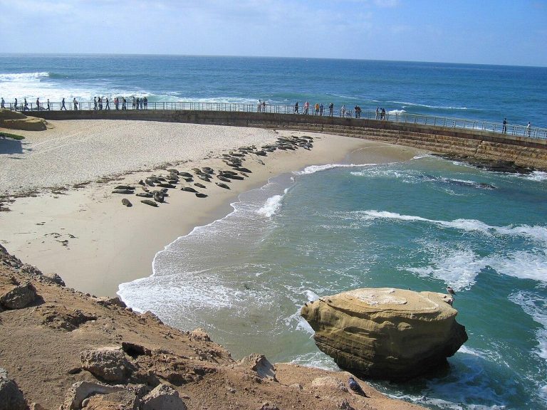
    Today’s Forecast: Today’s Report: About La Jolla La Jolla is an outdoor-planning page for La Jolla shoreline, coves, and marine recreation area. It has a distinct purpose centered on swell, wind, visibility, cold water, cove access, cliffs, and marine recreation, with the forecast used to choose the safest and most comfortable version of the day….

  • Laguna Beach & Crystal Cove

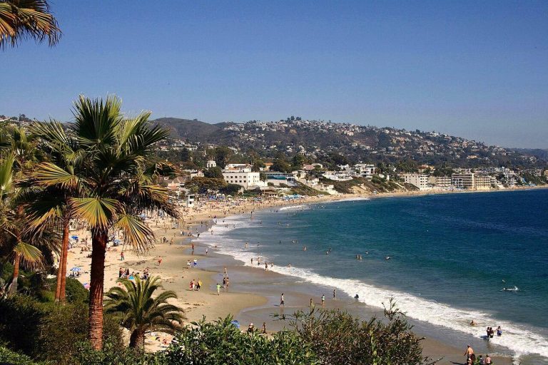
    Today’s Forecast: Today’s Report: About Laguna Beach & Crystal Cove Laguna Beach & Crystal Cove is an outdoor-planning page for Laguna coastline and Crystal Cove State Park. It has a distinct purpose centered on coves, bluff trails, parking, surf, marine layer, cold water, and camping, with the forecast used to choose the safest and most…

  • Lake Arrowhead

    Today’s Forecast: Today’s Report: About Lake Arrowhead Lake Arrowhead is an outdoor-planning page for Lake Arrowhead and the western San Bernardino Mountains. It has a distinct purpose centered on mountain-road access, snow, fog, cold nights, thunderstorms, smoke, and events, with the forecast used to choose the safest and most comfortable version of the day. Make…

  • Lake Berryessa

    Today’s Forecast: Today’s Report: About Lake Berryessa Lake Berryessa is an outdoor-planning page for Lake Berryessa shoreline and recreation areas. It has a distinct purpose centered on lake wind, summer heat, boat ramps, water access, and camping, with the forecast used to choose the safest and most comfortable version of the day. Make the Most…

  • Lake Tahoe North Shore

    Today’s Forecast: Today’s Report: About Lake Tahoe North Shore Lake Tahoe North Shore is an outdoor-planning page for Tahoe City through Kings Beach and Incline approaches. It has a distinct purpose centered on lake wind, high elevation, snow, trail access, boating, and traffic, with the forecast used to choose the safest and most comfortable version…

  • Lake Tahoe South Shore

    Today’s Forecast: Today’s Report: About Lake Tahoe South Shore Lake Tahoe South Shore is an outdoor-planning page for South Lake Tahoe, Stateline, and the southwest shoreline. It has a distinct purpose centered on beaches, boating, mountain trails, snow, cold nights, and event traffic, with the forecast used to choose the safest and most comfortable version…

  • Lassen Volcanic National Park

    Today’s Forecast: Today’s Report: About Lassen Volcanic National Park Lassen Volcanic National Park is an outdoor-planning page for Lassen park road and primary trail and lake areas. It has a distinct purpose centered on deep seasonal snow, delayed road access, cold nights, storms, and smoke, with the forecast used to choose the safest and most…

  • Los Angeles Parks & Trails

    Today’s Forecast: Today’s Report: About Los Angeles Parks & Trails Los Angeles Parks & Trails is an outdoor-planning page for major urban parks and central Los Angeles trail systems. It has a distinct purpose centered on urban heat, air quality, exposed trails, traffic, shade, and outdoor events, with the forecast used to choose the safest…

  • Malibu Coast

    Today’s Forecast: Today’s Report: About Malibu Coast Malibu Coast is an outdoor-planning page for Malibu beaches and coastal trailheads. It has a distinct purpose centered on marine layer, swell, cold water, parking, canyon wind, storms, and fire, with the forecast used to choose the safest and most comfortable version of the day. Make the Most…

  • Mammoth Lakes

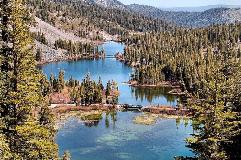
    Today’s Forecast: Today’s Report: About Mammoth Lakes Mammoth Lakes is an outdoor-planning page for Mammoth town, Lakes Basin, and nearby volcanic terrain. It has a distinct purpose centered on snow, road openings, high elevation, cold nights, thunderstorms, and smoke, with the forecast used to choose the safest and most comfortable version of the day. Make…

  • Marin Headlands

    Today’s Forecast: Today’s Report: About Marin Headlands Marin Headlands is an outdoor-planning page for Golden Gate National Recreation Area north of the bridge. It has a distinct purpose centered on exposed ridges, fog, bridge traffic, coastal wind, and campground access, with the forecast used to choose the safest and most comfortable version of the day….

  • Mendocino Coast

    Today’s Forecast: Today’s Report: About Mendocino Coast Mendocino Coast is an outdoor-planning page for Mendocino village and nearby headlands. It has a distinct purpose centered on bluff trails, protected coves, fog, wind, and winter storms, with the forecast used to choose the safest and most comfortable version of the day. Make the Most of a…

  • Mission Bay

    Today’s Forecast: Today’s Report: About Mission Bay Mission Bay is an outdoor-planning page for Mission Bay, Fiesta Island, and connected waterfronts. It has a distinct purpose centered on protected-water wind, boat traffic, paddling, bike paths, tides, and crowds, with the forecast used to choose the safest and most comfortable version of the day. Make the…

  • Mojave National Preserve

    Today’s Forecast: Today’s Report: About Mojave National Preserve Mojave National Preserve is an outdoor-planning page for preserve backcountry, dunes, and volcanic terrain. It has a distinct purpose centered on remote desert roads, limited services, heat, sun, cold nights, wind, and storms, with the forecast used to choose the safest and most comfortable version of the…

  • Monterey & Carmel

    Today’s Forecast: Today’s Report: About Monterey & Carmel Monterey & Carmel is an outdoor-planning page for Monterey Peninsula and Carmel coast. It has a distinct purpose centered on marine layer, coastal trails, golf, cold water, and exposed headlands, with the forecast used to choose the safest and most comfortable version of the day. Make the…

  • Morro Bay

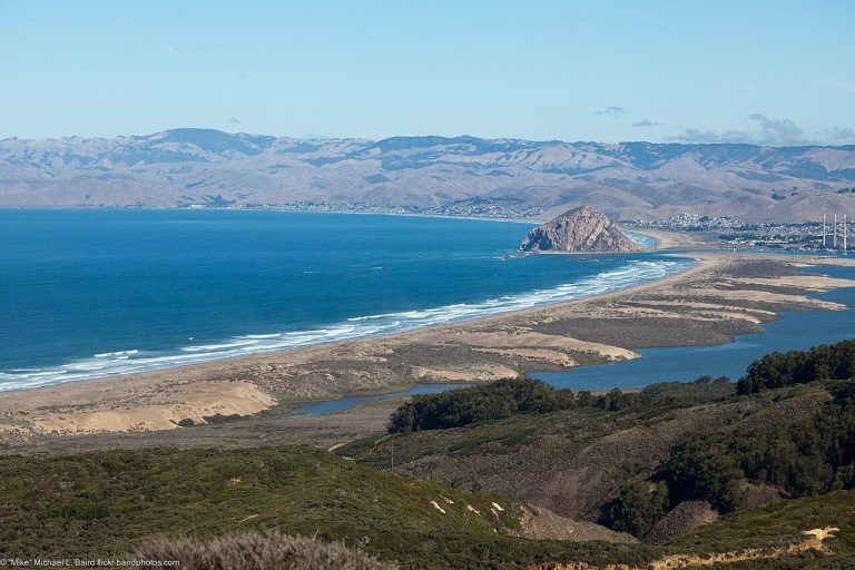
    Today’s Forecast: Today’s Report: About Morro Bay Morro Bay is an outdoor-planning page for Morro Bay estuary and nearby coastline. It has a distinct purpose centered on estuary paddling, tidal conditions, coastal wind, fog, and cold water, with the forecast used to choose the safest and most comfortable version of the day. Make the Most…

  • Mount Baldy

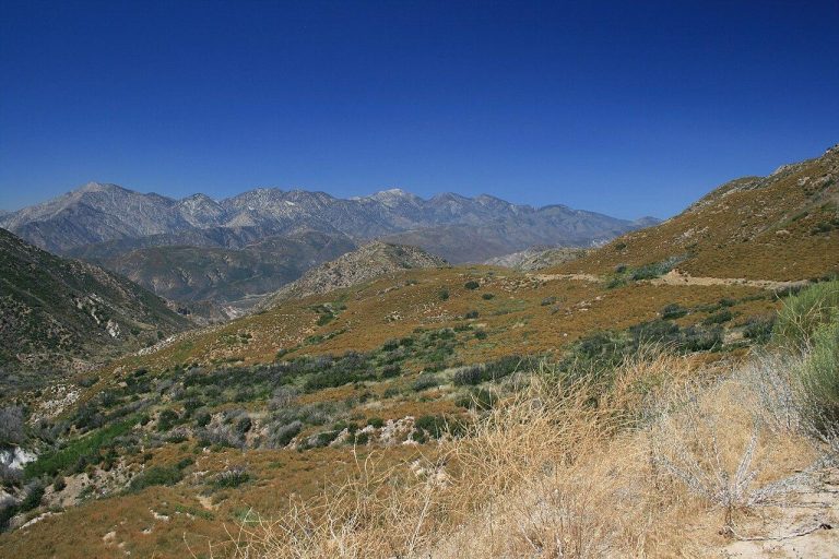
    Today’s Forecast: Today’s Report: About Mount Baldy Mount Baldy is an outdoor-planning page for Mount San Antonio and eastern San Gabriel high country. It has a distinct purpose centered on snow and ice, trail exposure, heat, thunderstorms, smoke, and mountain-road access, with the forecast used to choose the safest and most comfortable version of the…

  • Mount Shasta

    Today’s Forecast: Today’s Report: About Mount Shasta Mount Shasta is an outdoor-planning page for Mount Shasta City and the southern Cascade recreation corridor. It has a distinct purpose centered on snow, high elevation, cold nights, thunderstorms, smoke, and pass access, with the forecast used to choose the safest and most comfortable version of the day….

  • Mount Tamalpais

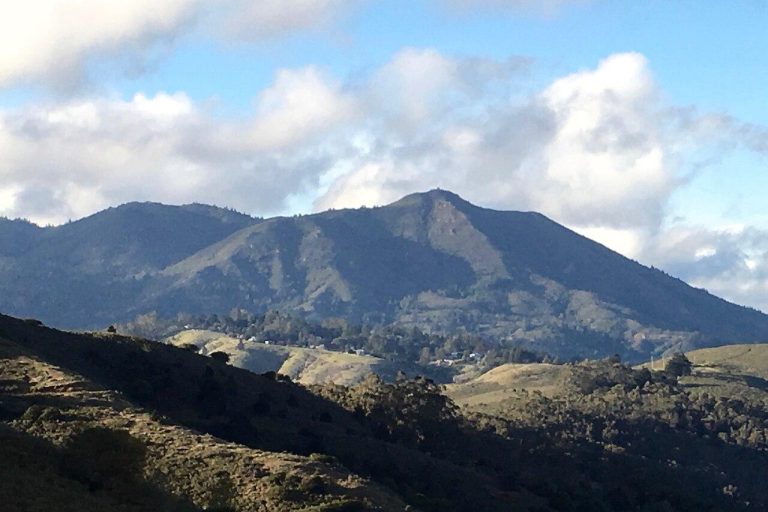
    Today’s Forecast: Today’s Report: About Mount Tamalpais Mount Tamalpais is an outdoor-planning page for Mount Tamalpais State Park and upper Marin watershed. It has a distinct purpose centered on elevation changes, marine-layer differences, ridge wind, and trail access, with the forecast used to choose the safest and most comfortable version of the day. Make the…

  • Mount Whitney

    Today’s Forecast: Today’s Report: About Mount Whitney Mount Whitney is an outdoor-planning page for Whitney Portal and the Mount Whitney trail corridor. It has a distinct purpose centered on extreme elevation, snow and ice, cold nights, thunderstorms, smoke, and road access, with the forecast used to choose the safest and most comfortable version of the…

  • Muir Woods

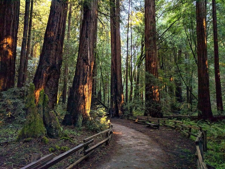
    Today’s Forecast: Today’s Report: About Muir Woods Muir Woods is an outdoor-planning page for Muir Woods and its immediate approach corridor. It has a distinct purpose centered on reservation timing, shaded redwood trails, rain, parking, and approach roads, with the forecast used to choose the safest and most comfortable version of the day. Make the…

  • Napa Valley

    Today’s Forecast: Today’s Report: About Napa Valley Napa Valley is an outdoor-planning page for Napa through Calistoga and adjacent hills. It has a distinct purpose centered on cycling, golf, events, valley heat, smoke, and hill-road planning, with the forecast used to choose the safest and most comfortable version of the day. Make the Most of…

  • Palm Springs & Coachella Valley

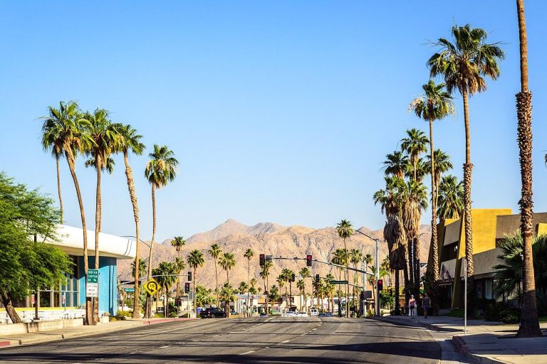
    Today’s Forecast: Today’s Report: About Palm Springs & Coachella Valley Palm Springs & Coachella Valley is an outdoor-planning page for Palm Springs through La Quinta and valley preserves. It has a distinct purpose centered on extreme heat, strong sun, wind, golf, events, canyon flooding, and desert travel, with the forecast used to choose the safest…

  • Palos Verdes Peninsula

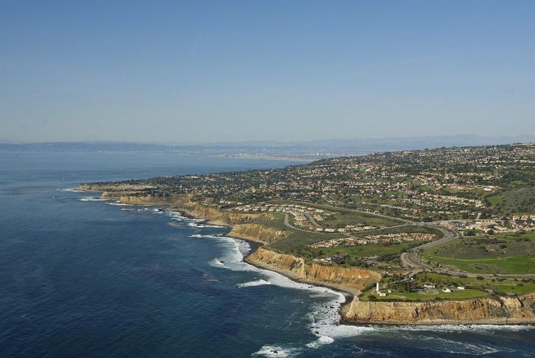
    Today’s Forecast: Today’s Report: About Palos Verdes Peninsula Palos Verdes Peninsula is an outdoor-planning page for peninsula bluffs and southern Santa Monica Bay. It has a distinct purpose centered on bluff trails, landslide closures, coastal wind, fog, cold water, and road access, with the forecast used to choose the safest and most comfortable version of…

  • Pismo Beach & Oceano Dunes

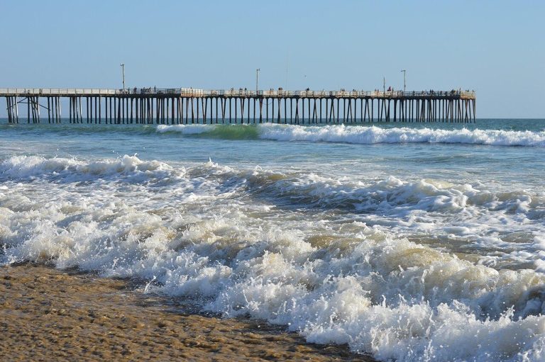
    Today’s Forecast: Today’s Report: About Pismo Beach Pismo Beach & Oceano Dunes is an outdoor-planning page for Pismo shoreline, Grover Beach, and Oceano. It has a distinct purpose centered on marine fog, beach wind, sand, coastal camping, cold water, and traffic, with the forecast used to choose the safest and most comfortable version of the…

  • Point Reyes

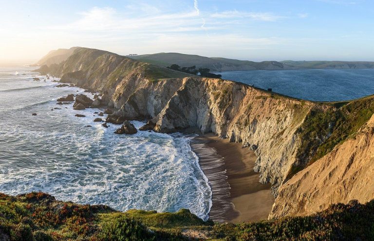
    Today’s Forecast: Today’s Report: About Point Reyes Point Reyes is an outdoor-planning page for Point Reyes National Seashore and the Tomales Bay side. It has a distinct purpose centered on coastal exposure, bay paddling, fog, wind, and remote access, with the forecast used to choose the safest and most comfortable version of the day. Make…

  • Redding & Whiskeytown Lake

    Today’s Forecast: Today’s Report: About Redding Redding & Whiskeytown Lake is an outdoor-planning page for Redding, Whiskeytown, and the lower Sacramento River corridor. It has a distinct purpose centered on reservoir wind, intense valley heat, smoke, river access, and boat plans, with the forecast used to choose the safest and most comfortable version of the…

  • Redwood National and State Parks

    Today’s Forecast: Today’s Report: About Redwood National and State Parks Redwood National and State Parks is an outdoor-planning page for Prairie Creek, Del Norte Coast, Jedediah Smith, and the main redwood corridor. It has a distinct purpose centered on redwood trails, exposed coast, fog, rain, and remote-road planning, with the forecast used to choose the…

  • Sacramento Parks & Rivers

    Today’s Forecast: Today’s Report: About Sacramento Parks & Rivers Sacramento Parks & Rivers is an outdoor-planning page for Sacramento urban trails and American and Sacramento River corridors. It has a distinct purpose centered on river levels, valley heat, paved trails, parks, and outdoor events, with the forecast used to choose the safest and most comfortable…

  • Salton Sea

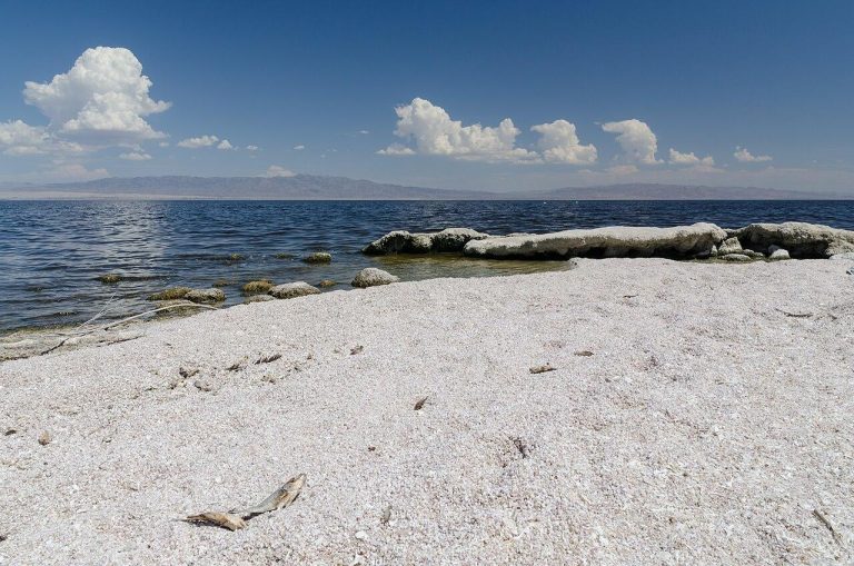
    Today’s Forecast: Today’s Report: About Salton Sea Salton Sea is an outdoor-planning page for Salton Sea shoreline and adjacent lower-desert communities. It has a distinct purpose centered on extreme heat, wind, blowing dust, shoreline access, air quality, storms, and remote travel, with the forecast used to choose the safest and most comfortable version of the…
  • San Diego Beaches

    Today’s Forecast: Today’s Report: About San Diego Beaches San Diego Beaches is an outdoor-planning page for main city and north-county beach corridor. It has a distinct purpose centered on marine layer, wind, surf, cold water, beach crowds, and coastal bike routes, with the forecast used to choose the safest and most comfortable version of the…

  • San Francisco Parks & Beaches

    Today’s Forecast: Today’s Report: About San Francisco Parks & Beaches San Francisco Parks & Beaches is an outdoor-planning page for city parks, western beaches, and the waterfront. It has a distinct purpose centered on sharply varying fog, wind, beach, park, and neighborhood conditions, with the forecast used to choose the safest and most comfortable version…

  • San Jose Parks & Trails

    Today’s Forecast: Today’s Report: About San Jose Parks & Trails San Jose Parks & Trails is an outdoor-planning page for South Bay urban trails and eastern and southern foothills. It has a distinct purpose centered on warmer South Bay conditions, exposed foothills, urban trails, and events, with the forecast used to choose the safest and…