
Marin Headlands, CA

Today’s Forecast:
🧐 Adventure Bingo Game
Download the outdoor adventure Bingo game to keep kids engaged in the outdoors.
Today’s Report:
Hiking
Excellent for hiking. High near 56°F. Low rain risk (15%). Light wind (17 mph).
- Temp: Favorable conditions
- Rain: Favorable conditions
- Wind: Favorable conditions
- Thunderstorm: Favorable conditions
Biking
Use Caution for biking. High near 56°F. Low rain risk (15%). Breezy winds (17 mph).
- Temp: Marginal weather factor
- Rain: Favorable conditions
- Wind: Marginal weather factor
- Thunderstorm: Favorable conditions
Camping
Use Caution for camping. High near 56°F. Low rain risk (15%). Breezy winds (17 mph).
- Temp: Favorable conditions
- Rain: Favorable conditions
- Wind: Marginal weather factor
- Thunderstorm: Favorable conditions
About Marin Headlands
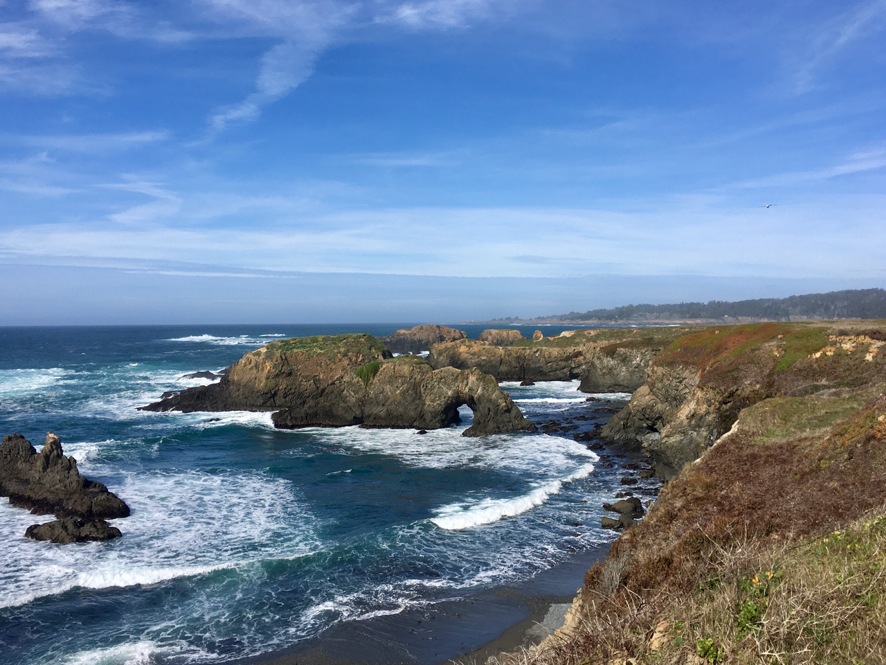
Marin Headlands is an outdoor-planning page for Golden Gate National Recreation Area north of the bridge. It has a distinct purpose centered on exposed ridges, fog, bridge traffic, coastal wind, and campground access, with the forecast used to choose the safest and most comfortable version of the day.
Make the Most of a Marin Headlands Day
Start by comparing conditions across Rodeo Beach, Hawk Hill, and the rest of the coverage area. Choose among hiking, biking, camping based on wind, precipitation, temperature, visibility, water or trail conditions, road access, smoke, and available daylight.
Weather Tips for Marin Headlands
- Conditions around Golden Gate National Recreation Area north of the bridge can differ sharply from nearby towns; exposed ridges, fog, bridge traffic, coastal wind, and campground access are the main planning variables.
- For camping, confirm overnight lows, wind, precipitation, fire restrictions, campground access, and how quickly shelter or services can be reached.
- Cold ocean water, marine fog, swell, beach wind, and winter storms can matter even when the inland forecast looks mild.
- Check current road, trail, ramp, campground, and park alerts before relying on a remote access point.
Nearby Towns and Areas
This page covers Golden Gate National Recreation Area north of the bridge. It can also be useful when planning outdoor time near:
- Rodeo Beach
- Hawk Hill
- Tennessee Valley
- Kirby Cove
- Point Bonita
- Sausalito
- Fort Baker
Plan Around the Conditions
Use the forecast to choose the best version of Marin Headlands rather than forcing one itinerary. A shorter route, earlier launch, sheltered shoreline, lower-elevation trail, or town-based backup can preserve the day when conditions change.
7-Day Forecast for Marin Headlands
Marin Headlands Weather by Season
Winter
At Marin Headlands, winter storms can bring heavy rain, gusty waterfront wind, high surf, and slick bluff or city trails. Short park walks may fit between systems, but exposed beaches and bridge approaches require a close wind and wave check.
Spring
Around Golden Gate National Recreation Area north of the bridge, spring alternates between mild clear stretches and breezy, showery days. Trail surfaces improve gradually, while cold water and afternoon wind remain important for shoreline plans.
Summer
For exposed ridges, fog, bridge traffic, coastal wind, and campground access, the marine layer can make western beaches cool, foggy, and windy even when inland neighborhoods are sunny and warm. Dress for sharp local changes and expect parking pressure during clear afternoons.
Fall
Near Rodeo Beach and the surrounding area, early fall often brings some of the clearest and warmest coastal days before winter storms return. Offshore wind and dry fire weather can still affect hills and park access.
Key Climate Data Points
- Warmest months: September and October near the coast.
- Coolest months: December through February, plus foggy summer mornings.
- Wettest season: November through March.
- Driest season: July through September.
- Best outdoor window: Early fall for clearer coastal outings; spring for trails when wind and rain are light.