
Muir Woods
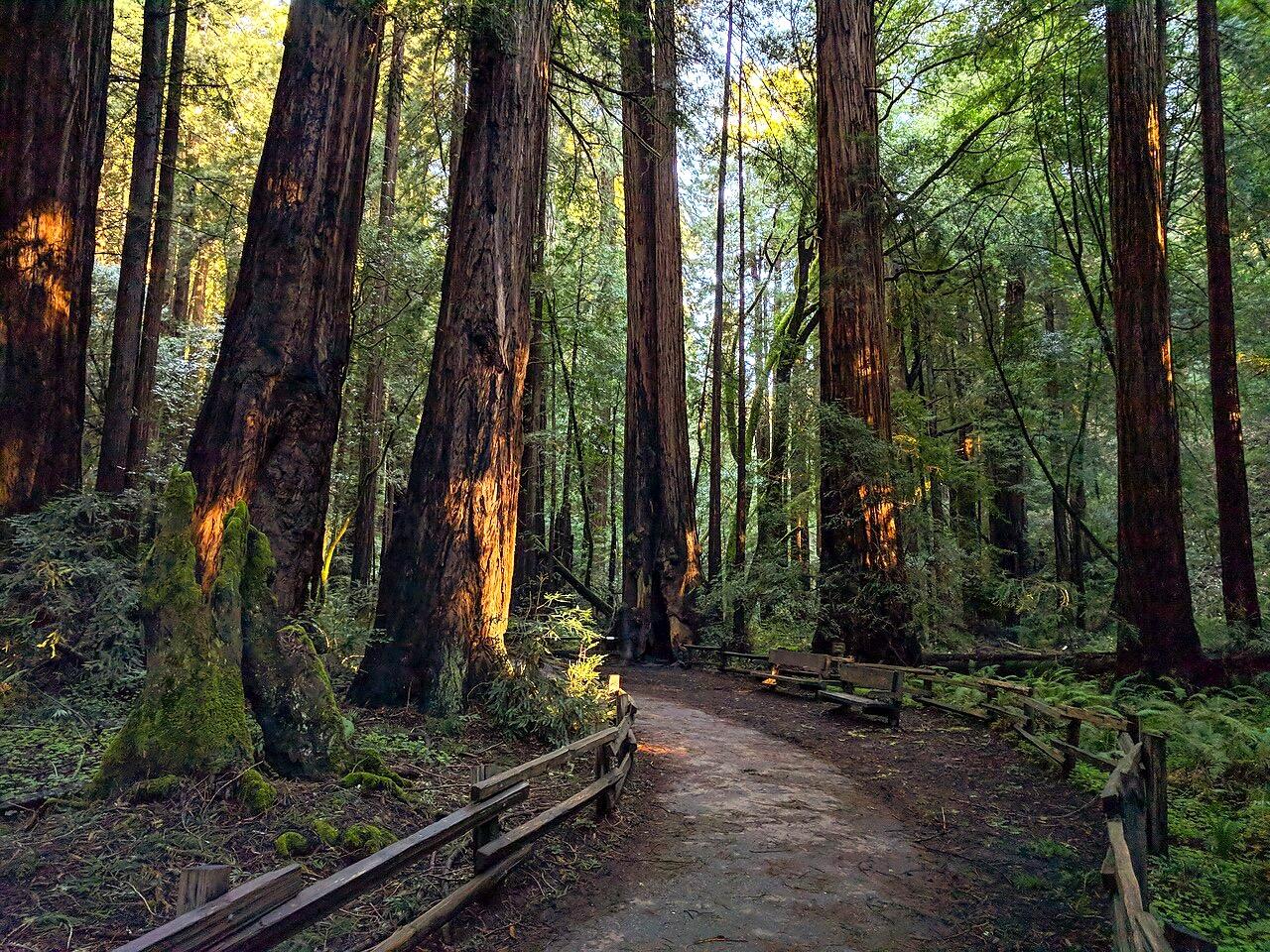
.jpg)
Today’s Forecast:
Show Alert Details & Instructions
Today’s Report:
Hiking
Excellent for hiking. High near 74°F. Light wind (13 mph).
- Temp: Favorable conditions
- Rain: Favorable conditions
- Wind: Favorable conditions
- Thunderstorm: Favorable conditions
Biking
Excellent for biking. High near 74°F. Light wind (13 mph).
- Temp: Favorable conditions
- Rain: Favorable conditions
- Wind: Favorable conditions
- Thunderstorm: Favorable conditions
Outdoor Events / Activities
Excellent for outdoor events / activities. High near 74°F. Light wind (13 mph).
- Temp: Favorable conditions
- Rain: Favorable conditions
- Wind: Favorable conditions
- Thunderstorm: Favorable conditions
About Muir Woods
Muir Woods is an outdoor-planning page for Muir Woods and its immediate approach corridor. It has a distinct purpose centered on reservation timing, shaded redwood trails, rain, parking, and approach roads, with the forecast used to choose the safest and most comfortable version of the day.
Make the Most of a Muir Woods Day
Start by comparing conditions across Mill Valley, Mount Tamalpais, and the rest of the coverage area. Choose among hiking, biking, outdoor events based on wind, precipitation, temperature, visibility, water or trail conditions, road access, smoke, and available daylight.
Weather Tips for Muir Woods
- Conditions around Muir Woods and its immediate approach corridor can differ sharply from nearby towns; reservation timing, shaded redwood trails, rain, parking, and approach roads are the main planning variables.
- For biking, compare wind, pavement or trail surface, heat, visibility, traffic, smoke, and recent rain before choosing distance and exposure.
- Recent rain, heat, smoke, fire restrictions, water levels, and afternoon wind can change which route or activity is most comfortable.
- Air quality and wildfire smoke can shift quickly; shorten strenuous plans when visibility or breathing conditions worsen.
Nearby Towns and Areas
This page covers Muir Woods and its immediate approach corridor. It can also be useful when planning outdoor time near:
- Mill Valley
- Mount Tamalpais
- Panoramic Highway
- Dipsea Trail
- Stinson Beach
- Kent Canyon
- Sausalito
Plan Around the Conditions
Use the forecast to choose the best version of Muir Woods rather than forcing one itinerary. A shorter route, earlier launch, sheltered shoreline, lower-elevation trail, or town-based backup can preserve the day when conditions change.
7-Day Forecast for Muir Woods
Muir Woods Weather by Season
Winter
At Muir Woods, winter rain can make forest and ridge trails muddy or slick, while wind and fog reduce visibility on exposed roads. Strong systems may bring downed limbs, drainage issues, and temporary trail closures.
Spring
Around Muir Woods and its immediate approach corridor, spring is green and often excellent for hiking and biking between showers. Fog can sit below sunny ridges, but late rain and saturated trail surfaces still require flexible route choices.
Summer
For reservation timing, shaded redwood trails, rain, parking, and approach roads, marine layer keeps some slopes cool while inland ridges heat rapidly above the fog. Afternoon wind, dry vegetation, crowds, and fire restrictions become increasingly important.
Fall
Near Mill Valley and the surrounding area, early fall can be warm and clear, but offshore wind and wildfire risk may close trails or roads. The first rain can improve fire conditions while making steep paths slick.
Key Climate Data Points
- Warmest months: August through October on sunnier ridges.
- Coolest months: December through February.
- Wettest season: November through March.
- Driest season: July through September.
- Best outdoor window: Spring and early fall for ridge hikes, biking, and camping.