
Bozeman Parks & Trails, MT

Today’s Forecast:
🧐 Adventure Bingo Game
Download the outdoor adventure Bingo game to keep kids engaged in the outdoors.
Today’s Report:
Biking
Excellent for biking. High near 64°F. Low rain risk (4%). Light wind (6 mph).
- Temp: Favorable conditions
- Rain: Favorable conditions
- Wind: Favorable conditions
- Thunderstorm: Favorable conditions
Golf
Excellent for golf. High near 64°F. Low rain risk (4%). Light wind (6 mph).
- Temp: Marginal weather factor
- Rain: Favorable conditions
- Wind: Favorable conditions
- Thunderstorm: Favorable conditions
Outdoor Events / Activities
Excellent for outdoor events / activities. High near 64°F. Low rain risk (4%). Light wind (6 mph).
- Temp: Favorable conditions
- Rain: Favorable conditions
- Wind: Favorable conditions
- Thunderstorm: Favorable conditions
About Bozeman Parks & Trails
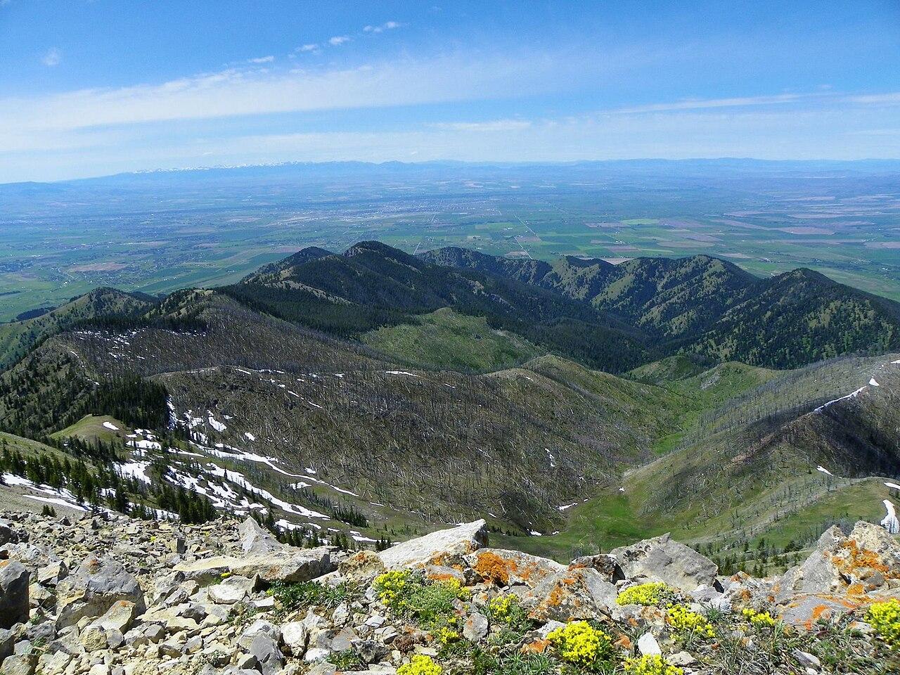
Bozeman Parks & Trails is a Montana destination for city paths, foothill trailheads, cycling, golf, and outdoor events around Bozeman.
Make the Most of a Bozeman Parks & Trails Day
Use the forecast to match the day’s route, launch, road access, and turnaround time to wind, precipitation, temperature, smoke, water conditions, and elevation. Keep a shorter or lower-elevation backup ready.
Weather Tips for Bozeman Parks & Trails
- Check current access, alerts, fire restrictions, and local forecasts before setting out.
- Turn around before exposed ridges, overlooks, or open ground become unsafe in thunder, high wind, smoke, or poor visibility.
- Montana weather can shift quickly; carry layers, sun protection, water, and a reliable navigation plan.
- Allow extra daylight for remote roads, seasonal traffic, wildlife, and changing trail or shoreline conditions.
Nearby Towns and Areas
This page can also be useful when planning outdoor time near:
- Gallatin Regional Park
- Main Street to the Mountains
- Bridger Canyon
- Belgrade
- Four Corners
Plan Around the Conditions
Choose the safest and most enjoyable version of a Bozeman Parks & Trails day by matching the activity to current wind, precipitation, smoke, temperature, road access, trail surfaces, water conditions, and daylight.
7-Day Forecast for Bozeman Parks & Trails
Bozeman Parks & Trails Weather by Season
Winter
Winter around Bozeman Parks & Trails can bring snow, ice, strong wind, short daylight, and abrupt cold. Check road, trail, campground, and facility access before leaving, and expect conditions to change sharply with elevation.
Spring
Spring is variable, with freeze-thaw cycles, mud, lingering mountain snow, rising water, and occasional late storms. Lower routes often open well before high-country roads and trails.
Summer
Summer generally offers the broadest access, but heat, afternoon thunderstorms, wildfire smoke, fire restrictions, gusty wind, and limited shade can alter plans. Start exposed outings early and carry more water than expected.
Fall
Fall brings cooler days, clearer periods, changing color, shorter daylight, and the possibility of early snow. Seasonal services can close before winter weather becomes continuous, so confirm local operations.
Key Climate Data Points
- Annual average temperature: around 40–46°F, using the relevant local and elevation context.
- Annual snowfall: commonly 35–70 inches in valleys and foothills, while nearby mountains receive much more.
- Warmest months: July and August are normally warmest.
- Coolest months: December and January are typically coolest.
- Wettest season: late spring and early summer often bring the most precipitation, with local mountain variation.
- Driest season: midsummer is often driest, although thunderstorms remain possible.
- Best outdoor window: June through September for the broadest access, with shoulder seasons useful at lower elevations.