
Cheesequake State Park, NJ
Today’s Forecast:
Show Alert Details & Instructions
Today’s Report:
Hiking
Use Caution for hiking. High near 45°F. Rain forecast later today (93%). Light wind (15 mph).
- Temp: Marginal weather factor
- Rain: Marginal weather factor
- Wind: Favorable conditions
- Thunderstorm: Favorable conditions
Biking
Use Caution for biking. High near 45°F. Rain forecast later today (93%). Breezy winds (15 mph).
- Temp: Marginal weather factor
- Rain: Marginal weather factor
- Wind: Marginal weather factor
- Thunderstorm: Favorable conditions
Camping
Use Caution for camping. High near 45°F. Rain forecast later today (93%). Breezy winds (15 mph).
- Temp: Marginal weather factor
- Rain: Marginal weather factor
- Wind: Marginal weather factor
- Thunderstorm: Favorable conditions
Paddling
Not Recommended for paddling. High near 45°F. Rain forecast later today (93%). Breezy winds (15 mph). Temperatures outside comfort limits (45°F).
- Temp: Unfavorable weather factor
- Rain: Marginal weather factor
- Wind: Marginal weather factor
- Thunderstorm: Favorable conditions
About Cheesequake State Park
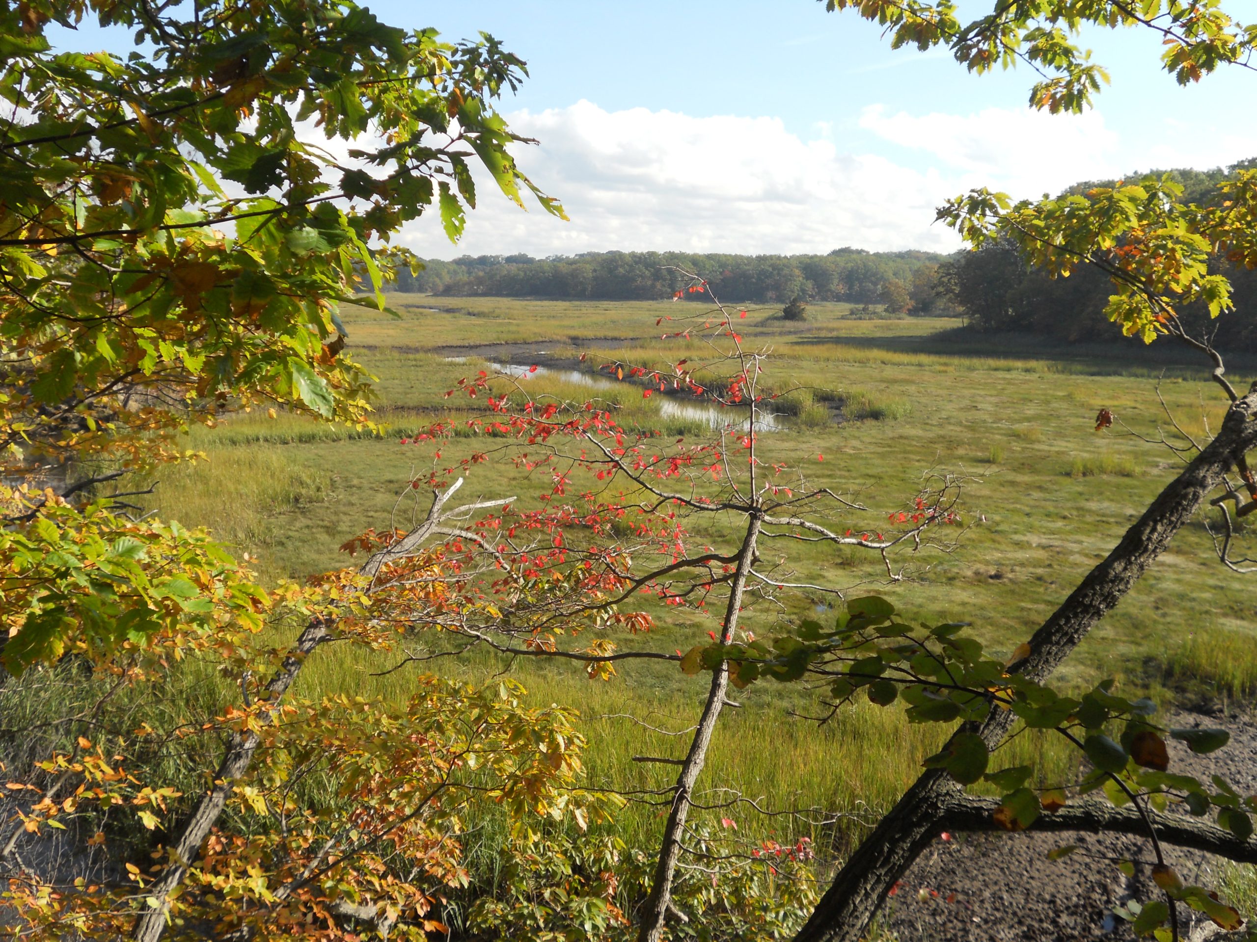
Conditions shape the experience at Cheesequake State Park, where visitors find forest and salt-marsh trails, Hooks Creek Lake, camping, boardwalks, and creek access.
Planning an Outing at Cheesequake State Park
Build the day around water conditions, thunderstorm timing, daylight, and current access notices rather than relying on temperature alone.
Weather Tips for Cheesequake State Park
- Check salt-marsh tide, creek level, boardwalk conditions, lake status, fog, and cold-water exposure before marsh or paddling plans.
- Confirm campground, trail, boardwalk, lake, and parking access; marsh flooding and storm debris can affect individual areas.
- Heat and humidity can build quickly when wind drops; leave open waterfronts, marshes, launches, and overlooks when lightning approaches.
- Strong fronts, tropical systems, and unusually high tides can leave flooding, debris, or access restrictions after the rain has ended.
Nearby Towns and Areas
Use this forecast as practical context for outdoor plans near:
- Matawan
- Old Bridge
- Sayreville
- Laurence Harbor
- Hooks Creek Lake
- Raritan Bay
Adjust the Day to the Forecast
Recheck observations before committing, then adjust the route, launch, or schedule when real conditions differ from the forecast.
7-Day Forecast for Cheesequake State Park
Cheesequake State Park Weather by Season
Winter
Winter at Cheesequake State Park is generally quiet but can bring strong wind, tidal flooding, fog, occasional snow or ice, and dangerously cold river, bay, or marsh water. Check seasonal hours and access after coastal storms.
Spring
Spring brings wet forest trails, active salt marshes, cold water, and rapidly increasing insects. Tide and recent rainfall can affect boardwalk and creek-side access.
Summer
Summer is hot, humid, and buggy, with thunderstorms affecting the lake, campground, forest, and marsh differently. Start active plans early and leave the water when thunder approaches. Migration, nesting, hunting, and habitat-management periods can change which roads, beaches, trails, or launches are open.
Fall
Fall generally favors camping and trail use, but marsh flooding, hunting-season awareness, wet leaves, and shorter daylight still affect plans.
Key Climate Data Points
- Annual average temperature: about 54–57°F using nearby coastal climate stations.
- Annual snowfall: usually about 10–20 inches near the coast, although individual nor’easters can produce much more.
- Warmest months: July and August are normally warmest.
- Coolest months: January is typically coolest.
- Wettest season: Summer is often wettest because of thunderstorms and tropical moisture, although precipitation is distributed through the year.
- Driest season: Fall is often driest, particularly from October into November.
- Best outdoor window: Spring and fall for trails and camping, adjusted for marsh tide, insects, lake access, and recent rainfall.