Today’s Forecast:
🌧
54°F
High: 54°
|
Low: 48°
Current Temperature
Light Rain and Fog/Mist
⚠️
High Surf Warning
High Surf Warning issued November 13 at 10:23AM PST until November 16 at 10:00PM PST by NWS Medford OR (Expires: November 17, 2026 12:00 am)
Show Alert Details & Instructions
Description:
* WHAT...Dangerous, large breaking waves of 20 to 25 ft this
morning, increasing to a peak of 30 to 35 ft late this
afternoon through Saturday morning. Another round of dangerous
surf conditions is expected Sunday night, with breaking waves
reaching 25 to 30 ft and persisting into Monday morning. Waves
gradually diminish through Monday evening, but remain
hazardous through the day.
* WHERE...Beaches of South Central Oregon Coast and Curry County
Coast. This includes Charleston, Port Orford, Gold Beach, and
Brookings.
* WHEN...Until 10 PM PST Monday.
* IMPACTS...Extremely large breaking waves will create very
hazardous conditions along beaches and area shorelines. Waves
will inundate beaches and surge into normally dry areas.
Infrastructure damage and significant beach erosion can be
expected.
* ADDITIONAL DETAILS...Breaking waves will briefly ease Saturday
night to 15 to 20 ft, but quickly rise to dangerous heights
again Sunday afternoon and evening.
Instructions:
Beaches and coastlines will become dangerous due to very large
and life-threatening surf conditions. Stay off of beaches, rocks,
jetties,piers, and other waterside infrastructure.
Tonight:Showers and thunderstorms before 10pm, then rain. Mostly cloudy. Low around 48, with temperatures rising to around 51 overnight. South southwest wind 16 to 26 mph, with gusts as high as 41 mph. Chance of precipitation is 80%. New rainfall amounts between a quarter and half of an inch possible.
Saturday:A chance of rain. Mostly cloudy, with a high near 59. South wind 18 to 30 mph, with gusts as high as 47 mph. Chance of precipitation is 40%. New rainfall amounts between a tenth and quarter of an inch possible.
Saturday Night:Rain. Cloudy. Low around 53, with temperatures rising to around 55 overnight. South wind 17 to 33 mph, with gusts as high as 53 mph. Chance of precipitation is 100%. New rainfall amounts between a half and three quarters of an inch possible.
Today’s Report:
Use Caution for hiking. High near 59°F. Risk of rain later today (38%). Breezy winds (30 mph). Slight chance of thunderstorms.
-
Temp: Favorable conditions
-
Rain: Marginal weather factor
-
Wind: Marginal weather factor
-
Thunderstorm: Marginal weather factor
Tomorrow's Outlook:
Not Recommended
20/100
Not Recommended for hiking. High near 55°F. High rain probability (87%). Light wind (16 mph).
Use Caution for golf. High near 59°F. Risk of rain later today (38%). Windy conditions (30 mph). Slight chance of thunderstorms.
-
Temp: Marginal weather factor
-
Rain: Marginal weather factor
-
Wind: Unfavorable weather factor
-
Thunderstorm: Marginal weather factor
Tomorrow's Outlook:
Not Recommended
13/100
Not Recommended for golf. High near 55°F. High rain probability (87%). Breezy winds (16 mph).
Use Caution for outdoor events / activities. High near 59°F. Risk of rain later today (38%). Windy conditions (30 mph). Slight chance of thunderstorms.
-
Temp: Marginal weather factor
-
Rain: Marginal weather factor
-
Wind: Unfavorable weather factor
-
Thunderstorm: Marginal weather factor
Tomorrow's Outlook:
Not Recommended
13/100
Not Recommended for outdoor events / activities. High near 55°F. High rain probability (87%). Breezy winds (16 mph).
About Bandon
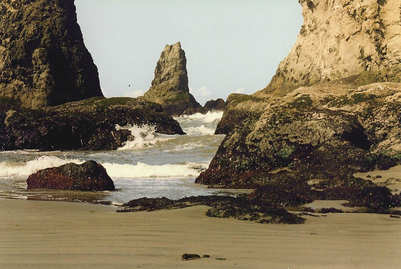
Bandon is a South Coast planning page for beach walks, sea-stack viewpoints, golf days, river-mouth stops, outdoor events, and relaxed coastal town time.
Make the Most of a Bandon Day
Use wind, tide timing, fog, rain, and surf conditions to choose between beaches, golf, viewpoints, or town-based outdoor plans.
Weather Tips for Bandon
- Coastal wind, sneaker waves, tide timing, fog, rain, cold water, and wet turf can all affect Bandon plans.
- Use tide tables, surf conditions, fog, and wind forecasts before committing to beach, headland, or rocky-shore plans.
- For golf, pay attention to wind, rain timing, heat, smoke, and how exposed the course feels.
- Stay off exposed rocks and logs when surf is active, and give yourself room from sneaker waves and rising tides.
Nearby Towns and Areas
This page is meant to cover a roughly 25-mile outdoor-planning area around Bandon, including Bandon, nearby beach viewpoints, Coquille River mouth, Bullards Beach, Bandon Dunes area, and south coast town stops. It can also be useful when planning outdoor time near:
- Face Rock
- Coquille Point
- Bullards Beach
- Coquille River
- Bandon Dunes
- Langlois approaches
- Old Town Bandon
Plan Around the Conditions
Use the forecast to choose the best version of Bandon rather than forcing one itinerary. Match rain, wind, tides, river or lake conditions, trail surfaces, smoke, road access, seasonal closures, and temperature swings to the activity that gives your group the most comfortable day.
7-Day Forecast for Bandon, OR