
Hells Canyon

Today’s Forecast:
Show Alert Details & Instructions
Today’s Report:
Hiking
Use Caution for hiking. High near 85°F. Low rain risk (2%). Light wind (18 mph). Smoke or haze in forecast.
- Temp: Marginal weather factor
- Rain: Favorable conditions
- Wind: Favorable conditions
- Smoke: Marginal weather factor
- Thunderstorm: Favorable conditions
Camping
Use Caution for camping. High near 85°F. Low rain risk (2%). Breezy winds (18 mph). Smoke or haze in forecast.
- Temp: Marginal weather factor
- Rain: Favorable conditions
- Wind: Marginal weather factor
- Smoke: Marginal weather factor
- Thunderstorm: Favorable conditions
Boating
Use Caution for boating. High near 85°F. Low rain risk (2%). Breezy winds (18 mph). Smoke or haze in forecast.
- Temp: Favorable conditions
- Rain: Favorable conditions
- Wind: Marginal weather factor
- Smoke: Marginal weather factor
- Thunderstorm: Favorable conditions
Fishing
Use Caution for fishing. High near 85°F. Low rain risk (2%). Breezy winds (18 mph). Smoke or haze in forecast.
- Temp: Marginal weather factor
- Rain: Favorable conditions
- Wind: Marginal weather factor
- Smoke: Marginal weather factor
- Thunderstorm: Favorable conditions
About Hells Canyon
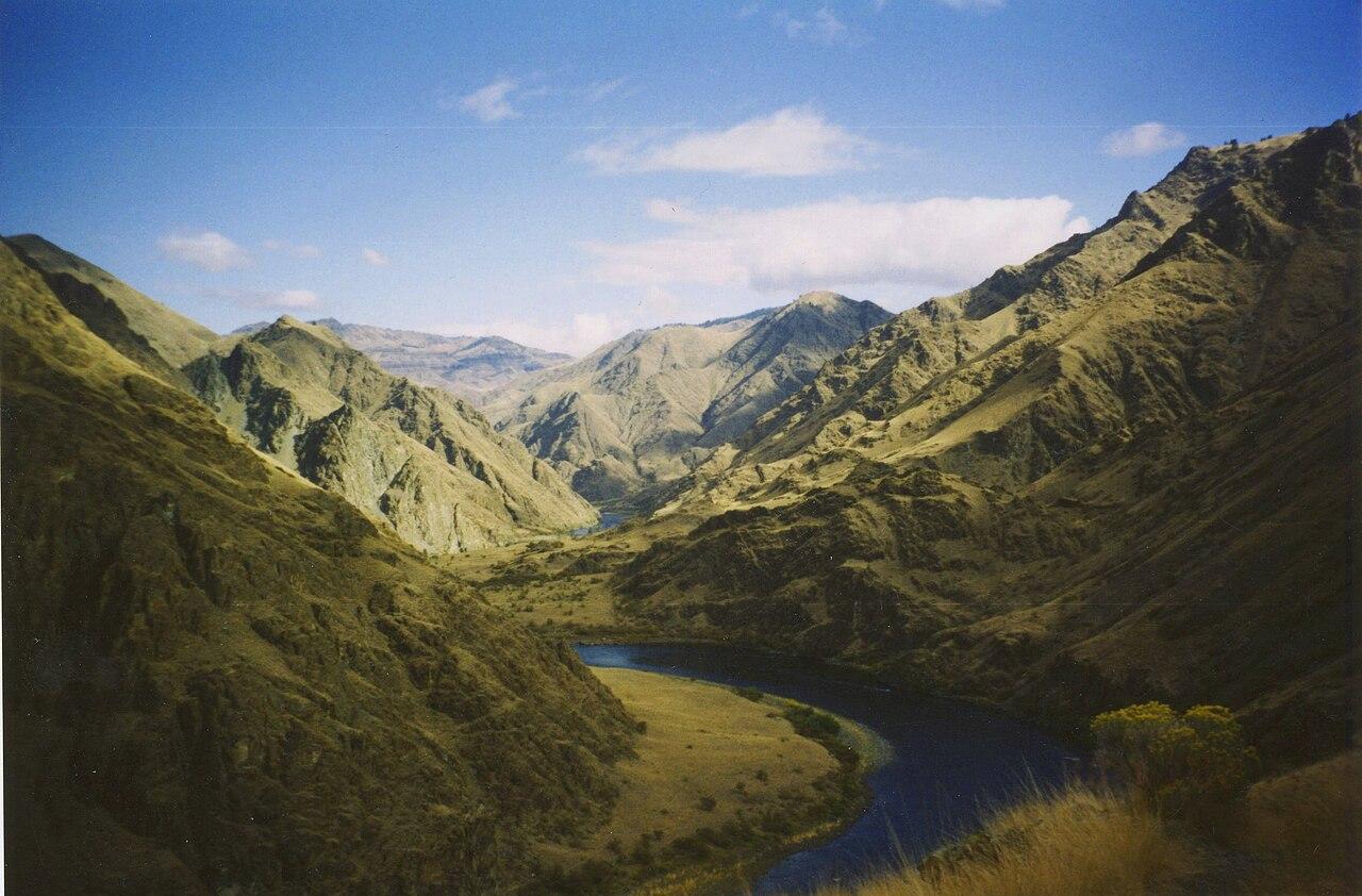
Hells Canyon is a remote Oregon-side planning page for canyon overlooks, Snake River access routes, campgrounds, rugged scenic drives, and long-distance trips through northeast Oregon.
Make the Most of a Hells Canyon Day
Use heat, wind, smoke, storms, road conditions, river conditions, and distance from services before committing to canyon viewpoints or Snake River access.
Weather Tips for Hells Canyon
- Canyon heat, strong wind, lightning, smoke, cold nights, remote roads, limited cell service, and Snake River water conditions can all affect Hells Canyon plans.
- Check wind, cold water, current, river or lake levels, and lightning risk before choosing open water, river, or shoreline plans.
- For campground days, check overnight lows, fire restrictions, rain timing, and how quickly shelter is available.
- Have a land-based backup ready when wind, waves, high flow, or storms make water plans less comfortable.
Nearby Towns and Areas
This page is meant to cover a roughly 25-mile outdoor-planning area around Hells Canyon, including Oregon-side Hells Canyon visitor viewpoints, Halfway and Oxbow approaches, Hat Point and Imnaha routes, Snake River access areas, and nearby remote forest roads. It can also be useful when planning outdoor time near:
- Hells Canyon Overlook
- Oxbow
- Halfway
- Snake River
- Hat Point
- Imnaha approaches
- Wallowa-Whitman National Forest
- Oregon-side canyon viewpoints
Plan Around the Conditions
Use the forecast to choose the best version of Hells Canyon rather than forcing one itinerary. Match rain, wind, tides, river or lake conditions, trail surfaces, smoke, road access, seasonal closures, and temperature swings to the activity that gives your group the most comfortable day.