Today’s Forecast:
⚠️
High Surf Warning
High Surf Warning issued November 12 at 10:22AM PST until November 14 at 12:00PM PST by NWS Portland OR (Expires: November 14, 2026 2:00 pm)
Show Alert Details & Instructions
Description:
* WHAT...For the Coastal Flood Advisory, tidal overflow flooding
expected. For the High Surf Warning, large waves and dangerous
surf conditions. Breakers up to 30 to 35 feet.
* WHERE...Tillamook County Coast.
* WHEN...For the Coastal Flood Advisory, from noon to 4 PM PST
Friday. For the High Surf Warning, from noon Friday to noon
PST Saturday.
* IMPACTS...Minor flooding, up to one foot above ground level,
during high tides is expected in the low lying areas near bays,
sloughs, and the lower reaches of the coastal rivers.
Destructive waves may wash over beaches, jetties, and other
structures unexpectedly. People can be swept off rocks and
jetties and drown while observing high surf. Severe beach
erosion may destroy coastal properties and buildings. Higher
than normal water run-up is expected on beaches and low- lying
shoreline.
* ADDITIONAL DETAILS...The threat of sneaker waves is extreme
during these scenarios. Sneaker waves can suddenly knock people
off of their feet and quickly pull them into the frigid ocean
which may lead to serious injury or drowning. The sneaker wave
threat will peak Friday evening into Friday night. In addition,
the Garibaldi tidal gauge is forecast to reach approximately
10.5 ft during high tide Friday afternoon. This typically
results in flooding over Burton-Fraser Rd. along the Tillamook
River.
Instructions:
A Coastal Flood Advisory means that tidal overflow flooding is
expected. Coastal residents in the warned area should be alert
for rising water, and take appropriate action to protect life and
property.
A High Surf Warning means that high surf will affect beaches,
producing rip currents, sneaker waves and beach erosion. Stay
well back from the water's edge and be alert for exceptionally
high waves.
Keep away from large logs on the beach. Water running up on the
beach can lift or roll logs which can injure or kill someone
caught in their path.
⚠️
Coastal Flood Advisory
Coastal Flood Advisory issued November 12 at 10:22AM PST until November 13 at 4:00PM PST by NWS Portland OR (Expires: November 13, 2026 6:00 pm)
Show Alert Details & Instructions
Description:
* WHAT...For the Coastal Flood Advisory, tidal overflow flooding
expected. For the High Surf Warning, large waves and dangerous
surf conditions. Breakers up to 30 to 35 feet.
* WHERE...Tillamook County Coast.
* WHEN...For the Coastal Flood Advisory, from noon to 4 PM PST
Friday. For the High Surf Warning, from noon Friday to noon
PST Saturday.
* IMPACTS...Minor flooding, up to one foot above ground level,
during high tides is expected in the low lying areas near bays,
sloughs, and the lower reaches of the coastal rivers.
Destructive waves may wash over beaches, jetties, and other
structures unexpectedly. People can be swept off rocks and
jetties and drown while observing high surf. Severe beach
erosion may destroy coastal properties and buildings. Higher
than normal water run-up is expected on beaches and low- lying
shoreline.
* ADDITIONAL DETAILS...The threat of sneaker waves is extreme
during these scenarios. Sneaker waves can suddenly knock people
off of their feet and quickly pull them into the frigid ocean
which may lead to serious injury or drowning. The sneaker wave
threat will peak Friday evening into Friday night. In addition,
the Garibaldi tidal gauge is forecast to reach approximately
10.5 ft during high tide Friday afternoon. This typically
results in flooding over Burton-Fraser Rd. along the Tillamook
River.
Instructions:
A Coastal Flood Advisory means that tidal overflow flooding is
expected. Coastal residents in the warned area should be alert
for rising water, and take appropriate action to protect life and
property.
A High Surf Warning means that high surf will affect beaches,
producing rip currents, sneaker waves and beach erosion. Stay
well back from the water's edge and be alert for exceptionally
high waves.
Keep away from large logs on the beach. Water running up on the
beach can lift or roll logs which can injure or kill someone
caught in their path.
This Afternoon:Mostly cloudy. High near 65, with temperatures falling to around 60 in the afternoon. South southeast wind 6 to 10 mph.
Tonight:Rain after 1am. Cloudy. Low around 49, with temperatures rising to around 52 overnight. South southeast wind 9 to 18 mph, with gusts as high as 25 mph. Chance of precipitation is 100%. New rainfall amounts between a quarter and half of an inch possible.
Friday:Rain. Mostly cloudy. High near 58, with temperatures falling to around 54 in the afternoon. South wind 10 to 20 mph, with gusts as high as 25 mph. Chance of precipitation is 100%. New rainfall amounts between a half and three quarters of an inch possible.
Today’s Report:
Use Caution for hiking. High near 58°F. Rain forecast later today (99%). Breezy winds (20 mph).
-
Temp: Favorable conditions
-
Rain: Marginal weather factor
-
Wind: Marginal weather factor
-
Thunderstorm: Favorable conditions
Tomorrow's Outlook:
Not Recommended
20/100
Not Recommended for hiking. High near 55°F. High rain probability (89%). Light wind (15 mph).
Not Recommended for paddling. High near 58°F. Rain forecast later today (99%). Windy conditions (20 mph). Temperatures outside comfort limits (58°F).
-
Temp: Unfavorable weather factor
-
Rain: Marginal weather factor
-
Wind: Unfavorable weather factor
-
Thunderstorm: Favorable conditions
Tomorrow's Outlook:
Not Recommended
2/100
Not Recommended for paddling. High near 55°F. High rain probability (89%). Breezy winds (15 mph). Temperatures outside comfort limits (55°F).
Use Caution for camping. High near 58°F. Rain forecast later today (99%). Breezy winds (20 mph).
-
Temp: Favorable conditions
-
Rain: Marginal weather factor
-
Wind: Marginal weather factor
-
Thunderstorm: Favorable conditions
Tomorrow's Outlook:
Not Recommended
19/100
Not Recommended for camping. High near 55°F. High rain probability (89%). Breezy winds (15 mph).
Use Caution for fishing. High near 58°F. Rain forecast later today (99%). Breezy winds (20 mph).
-
Temp: Favorable conditions
-
Rain: Marginal weather factor
-
Wind: Marginal weather factor
-
Thunderstorm: Favorable conditions
Tomorrow's Outlook:
Not Recommended
15/100
Not Recommended for fishing. High near 55°F. High rain probability (89%). Breezy winds (15 mph).
About Tillamook Coast
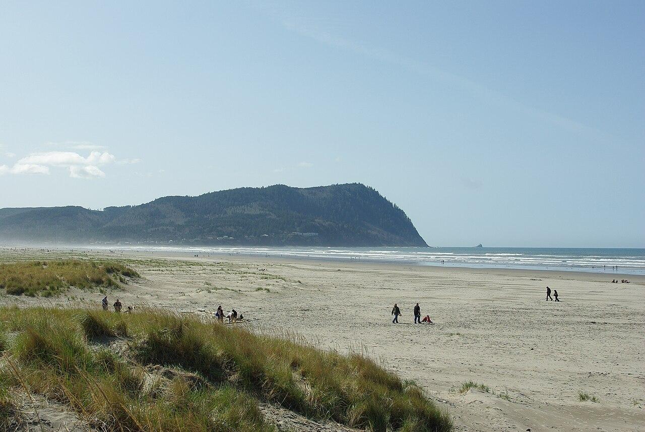
Tillamook Coast is a bay and headland planning page for beach towns, Netarts and Tillamook Bay access, coastal hikes, campgrounds, and north-central coast drives.
Make the Most of a Tillamook Coast Day
Use tide timing, bay wind, rain, fog, and surf conditions to choose between paddling, beach walks, headland trails, or town stops.
Weather Tips for Tillamook Coast
- Bay wind, coastal fog, rain, sneaker waves, tide timing, cold water, and muddy headland trails can all affect Tillamook Coast plans.
- Check wind, cold water, current, river or lake levels, and lightning risk before choosing open water, river, or shoreline plans.
- For campground days, check overnight lows, fire restrictions, rain timing, and how quickly shelter is available.
- Stay off exposed rocks and logs when surf is active, and give yourself room from sneaker waves and rising tides.
Nearby Towns and Areas
This page is meant to cover a roughly 25-mile outdoor-planning area around Tillamook Coast, including Tillamook, Netarts and Tillamook bays, nearby headlands, Rockaway and Garibaldi beach areas, and north-central coast campgrounds. It can also be useful when planning outdoor time near:
- Tillamook
- Cape Meares
- Netarts Bay
- Oceanside
- Garibaldi
- Rockaway Beach
- Bay City
- Cape Lookout approaches
Plan Around the Conditions
Use the forecast to choose the best version of Tillamook Coast rather than forcing one itinerary. Match rain, wind, tides, river or lake conditions, trail surfaces, smoke, road access, seasonal closures, and temperature swings to the activity that gives your group the most comfortable day.
7-Day Forecast for Tillamook Coast